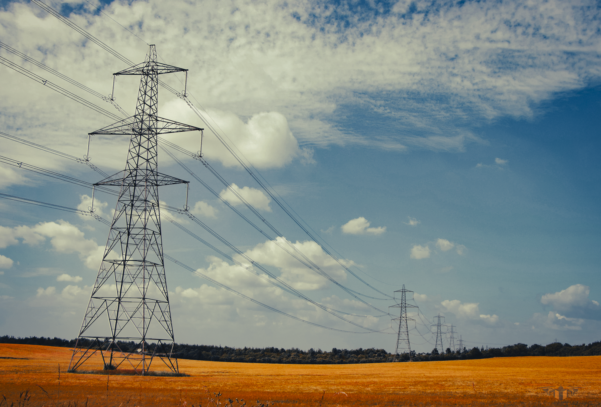
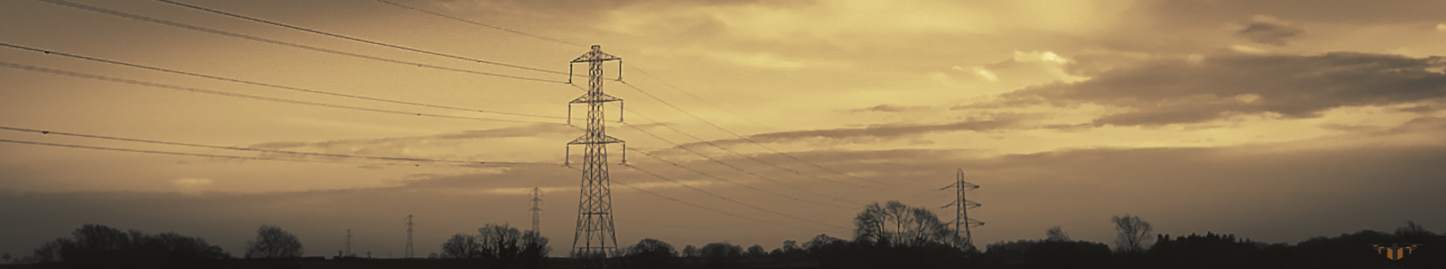
POWERLINE & ENERGY
Inspections
Safe, high-resolution powerline drone inspection and energy infrastructure imaging for utilities, contractors and asset managers across the UK.
Airsuv provides drone powerline inspection and energy infrastructure imaging for teams responsible for network reliability, safety and maintenance planning.
We capture clear, repeatable visual data on overhead lines, poles, structures and substations — helping you assess condition, clearance and risk without unnecessary outages, access equipment or line climbing.
Who Our Powerline & Energy Inspections Are For?
This service is designed for organisations responsible for overhead line and energy asset performance, including:
Transmission and distribution network operators
Energy and utilities contractors
Powerline maintenance and vegetation management teams
Infrastructure and asset managers
Engineering consultancies supporting grid and substation projects
If you manage or maintain overhead lines, poles, structures or substations, Airsuv’s powerline drone inspection service gives you clear visibility without unnecessary risk or disruption.
Problems Powerline Drone Inspections Can Help You Solve
Overhead line and energy assets are exposed, distributed and often difficult or risky to access. Airsuv’s overhead line drone inspection work helps address:
Unknown condition of lines and structures
Corrosion, conductor damage, insulator issues, damaged fittings or ageing hardware.Vegetation and clearance risks
Trees, branches and growth encroaching on safety clearances or presenting future risk.Access and safety constraints
Remote locations, water crossings, uneven terrain, public areas or restricted access corridors.Operational disruption
Traditional inspection methods can require line outages, road closures or extended access arrangements.Fragmented visual records
Inconsistent photos from multiple sources or no reliable baseline for comparing changes over time.
Airsuv’s energy infrastructure drone inspection service gives you consistent, repeatable visual records that support planning, prioritisation and risk management.
What You Receive from an Airsuv Powerline & Energy Inspection
Every powerline drone inspection is structured so your engineering and maintenance teams can work directly from the imagery.
You can expect:
High-resolution imaging of towers, poles and spans
Clear visuals of structures, fittings, insulators and conductors from safe stand-off distances.Targeted defect and risk imagery
Focused shots of suspected issues: damage, corrosion, broken or missing components, bird nests, contamination.Vegetation and corridor overviews
Imagery showing clearances, growth patterns and potential encroachment along the line route.Structured data delivery
Images organised by span, tower/pole ID or section as agreed — ready to integrate into your existing asset systems or reports.Optional mark-ups and highlights
Simple visual highlighting of areas of interest, where this aids communication with internal teams or contractors.
How Our Powerline & Energy Inspection Process Works
Airsuv’s process is built around safety, coordination and clarity.
Initial Scope & Objectives
You define the route, structures or assets to be inspected, plus any specific concerns (e.g. suspected defects, vegetation risk, recent events).Corridor & Airspace Assessment
We review airspace, proximity to restricted areas, access routes and ground risks along the line or around the substation.Flight Planning & Compliance
Detailed planning for drone powerline inspection operations, including risk assessments, method statements and coordination requirements.On-Site Operations
We work within your safety protocols and access controls, capturing agreed imagery while minimising disruption to operations and the public.Data Verification & Delivery
Imagery is checked for coverage and clarity, then delivered in a structured format aligned with your asset IDs or route sections.Repeat & Comparative Inspections
Follow-up inspections can be aligned with previous flights to support condition trending, before-and-after comparisons or post-event reviews.
Safety, Compliance & Coordination with Your Procedures
Working around overhead lines and energy infrastructure demands strict control.
You can expect:
Operations led by a GVC-licensed remote pilot
CAA-compliant planning and flight operations
Site-specific risk assessment for each job
Integration with your own safety rules, permits and switching procedures
Commercial drone insurance appropriate to the task
Our role is to fit into your existing safety and operational framework, supplying high-quality powerline drone inspection imagery without adding complexity.
Coverage & Typical Project Types
Airsuv is based near Harrogate and York, operating across:
Yorkshire and the North of England
Wider UK for suitable energy and infrastructure projects
Typical energy infrastructure drone inspection work includes:
Overhead line condition checks along specific spans or routes
Targeted inspections after storms or events
Vegetation and clearance surveys in defined corridors
Visual checks of new or upgraded assets
Substation structure and equipment imaging where appropriate and safe
When to Consider a Powerline & Energy Drone Inspection
Clients typically use Airsuv for powerline drone inspection when:
You need visual confirmation of asset condition between major inspection cycles.
There are concerns about damage after storms, faults or third-party incidents.
Access on foot or by vehicle is difficult, slow or high-risk.
Vegetation and encroachment risks need a clear visual record.
You want a consistent, repeatable way to document condition along a route or at key assets.
If you’re unsure whether a drone powerline inspection is appropriate for your specific route or substation, we can assess feasibility and outline options.
Request a Powerline & Energy Inspection
If you’re responsible for overhead lines or energy infrastructure and need clear, structured imagery to support inspection, planning and risk management, Airsuv can help.
Share your network section, site details and inspection objectives, and we’ll provide a structured, transparent quotation with clear deliverables and coverage.
Airsuv - The Intelligent Solutions Company
Aerial Surveys. Precision Imaging. Actionable Data.
✔ POWERLINE & ENERGY INSPECTIONS FAQs
-
A powerline drone inspection can identify conductor damage, insulator defects, corrosion, loose or missing hardware, bird-related contamination, cross-arm issues, and structural deterioration on poles or towers.
It can also detect vegetation encroachment, clearance risks and environmental impact along the corridor. -
Yes. Drone inspections are commonly performed around live overhead lines when planned and executed by a licensed operator under controlled procedures.
Airsuv maintains safe standoff distances and complies with CAA regulations and your network’s own safety rules. -
In most cases, no outage is required.
Drone inspections are designed to safely operate around live lines, avoiding disruption to grid operations or supply. -
Drone imagery provides high-resolution, stabilised visuals suitable for engineering review, defect identification, clearance assessment, and maintenance planning.
Images can be structured by span, tower/pole ID or route section to match engineering workflows. -
Drones are ideal for:
Storm/fault damage assessment
Vegetation and clearance checks
Routine condition monitoring
Remote or hard-to-access spans
River or road crossings
Post-maintenance verification
Baseline imaging for new assets
-
A drone can inspect lines span by span, across short or long sections depending on site access and airspace considerations.
Airsuv plans routes efficiently to maximise coverage while maintaining safe operations. -
We’ll ask for:
Route or span details
Tower/pole IDs (if available)
Access notes (gates, track conditions, escorts)
Safety procedures for the network
Any known defects or concerns
This ensures the inspection is planned to your standards.
-
Yes. Inspections typically include:
Structure imaging (poles or towers)
Conductor & insulator detail
Hardware and fittings
Full-span corridor imagery
Vegetation & clearance context
-
Depending on the environment, most spans can be inspected in 5–15 minutes each.
Complex access routes, dense vegetation or restricted airspace may extend the timeline. -
Most clients receive their structured imagery within 24–72 hours, depending on the length of the route and complexity.
All imagery is delivered clearly organised for engineering review.
-
Yes. Drone imaging is ideal for identifying vegetation risk, overgrowth, encroachment patterns and potential future hazards.
It provides a visual baseline for planning maintenance cycles. -
Yes — when operated with appropriate standoff distances, compliance, and coordination with your internal safety procedures.
Airsuv integrates with your site rules, permits and operational controls. -
Thermal imaging can be provided on request, useful for detecting hotspots or abnormal heating patterns on some equipment types, where appropriate.
-
Absolutely. Airsuv supports multi-route, multi-span and multi-site inspections, planning efficient routes and maintaining consistent imaging standards across all assets.