
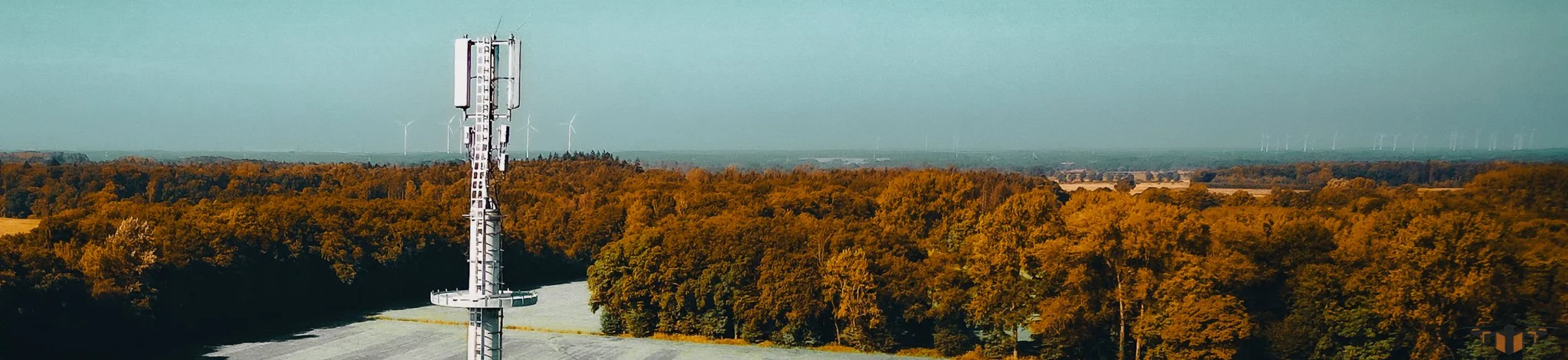
INFRASTRUCTURE
INSPECTIONS
High-resolution infrastructure inspection and structural imaging for councils, engineers, and asset managers.
Airsuv provides infrastructure drone inspection services for bridges, transport structures and public assets where safe, efficient access is essential.
We capture clear, stable, high-resolution imagery of structural elements that are difficult, costly or unsafe to inspect using traditional methods — helping engineering teams understand condition, identify defects and plan maintenance with confidence.
Who Our Infrastructure Inspections Are For?
This service is designed for organisations responsible for structural integrity, public safety and asset performance, including:
Councils, highways and local authorities
Civil engineering teams
Infrastructure and asset managers
Transport authorities
Engineering consultancies and contractors
Maintenance providers for bridges and structures
If you manage bridges, spans, viaducts, culverts or transport-related structures, Airsuv gives you a safe and efficient way to see what’s happening — without closures or scaffolding.
Problems Infrastructure Drone Inspections Can Solve
Structural assets face weathering, movement and operational loads that are often hard to see from ground level. Airsuv’s bridge drone inspection and structural imaging help identify:
Deterioration & Material Degradation
Cracking, delamination, corrosion, spalling, staining and water ingress.Joint & Bearing Issues
Displacement, deformation or failed expansion components.Surface & Deck Condition
Asphalt defects, potholes, drainage problems, wear patterns or impact damage.Drainage & Runoff Concerns
Blockages or failures leading to standing water or deterioration.Difficult-to-access elements
Undersides, soffits, parapets, piers, abutments and structural joints.Public safety & asset risk
Early identification of defects reduces risk and supports proactive maintenance.
Airsuv provides engineers with reliable imagery to support structural assessments, defect diagnosis and planning decisions.
What You Receive from an Infrastructure Inspection
Every infrastructure drone inspection delivers clear, structured imagery designed to support engineering judgment.
You can expect:
High-resolution imagery of structural components
Bearings, soffits, parapets, abutments, piers, joints, and decks.Targeted defect imaging
Close inspection of cracked elements, corrosion, water damage and material degradation.Contextual overview shots
Full-span imagery showing how elements relate, ideal for planning and reporting.Structured file delivery
Images organised by structural element, span or section, matching engineering workflows.Optional annotations
Highlighting areas of concern where this aids communication with engineers or contractors.
Initial Scope & Objectives
Define the asset, structure type, location and any known concerns (movement, deterioration, water ingress).Access, Environment & Airspace Review
Assessment of ground risk, public safety, access restrictions, traffic management needs and airspace compliance.Flight Planning & Compliance
CAA-compliant planning, risk assessment and method statements tailored to bridge drone inspection work.On-Site Operations
We work around live environments, waterways, roads and pedestrian areas with strict control and minimal disruption.Verification & Delivery
Imagery is checked, organised and delivered in a format aligned to engineering workflows.Follow-Up & Comparison
Repeat inspections can be aligned for structural change detection or monitoring over time.
How Our Infrastructure Inspection Process Works
Safety, Compliance & Asset Protection
Infrastructure environments demand strict planning and responsible operations.
Airsuv provides:
GVC-licensed UAV operations
CAA-compliant planning and controlled airspace checks
Site-specific risk assessment and method statements
Coordination with council, highways, and contractor safety rules
Commercial drone insurance
Public and asset protection measures
We integrate seamlessly into existing engineering and safety frameworks.
Coverage & Typical Infrastructure Projects
Airsuv operates across:
Harrogate, York, Leeds and the North of England
Surrounding regions
UK-wide for suitable infrastructure works
Typical projects include:
Bridge deck and parapet inspections
Soffit and underside imaging
Abutment, pier and structural connection inspections
Transport and highway structures
Public asset condition assessments
Waterway and canal structure inspections
When to Consider a Drone Infrastructure Inspection
Clients typically contact Airsuv when:
Access is difficult, costly or unsafe
Structural deterioration is suspected but unconfirmed
Routine inspections require visual evidence
Traffic or public access makes traditional inspection methods inconvenient
A project needs baseline imagery before and after works
A structure requires periodic monitoring for movement or degradation
If you need clarity before committing engineers or access equipment, Airsuv provides a safe and efficient first inspection.
Request an Infrastructure Inspection
If you’re responsible for bridges, structures or transport assets and need clear imaging to support engineering assessments, Airsuv delivers accurate, structured results.
Airsuv - The Intelligent Solutions Company
Aerial Surveys. Precision Imaging. Actionable Data.
✔ INFRASTRUCTURE FAQs
-
A drone infrastructure inspection can identify structural deterioration, cracks, corrosion, spalling, joint failures, surface erosion, vegetation issues, debris accumulation, water damage, clearance risks, and signs of deformation.
It provides detailed visual evidence for engineering assessments without requiring intrusive access. -
Yes. Drones are highly effective for inspecting bridges, including:
Under-decks and soffits
Parapets and barriers
Expansion joints
Piers and abutments
Culverts and water crossings
Hard-to-access structural elements
They eliminate the need for scaffolding, rope access or lane closures in many cases.
-
Yes. Drones can access and image soffits, beams, girders, and undersides of deck structures where manual access is difficult or unsafe.
Low-altitude hovering allows close, stable imaging without contact. -
Yes. High-resolution drone imagery is widely used by engineers, surveyors and councils for:
Condition assessments
Defect identification
Routine monitoring
Pre-maintenance planning
Post-maintenance verification
It forms part of professional evidence for structural review.
-
Drones are ideal when:
Access is restricted or dangerous
Structures span water or roads
Scaffolding is impractical or expensive
Visual clarity is needed before engineer attendance
You require a fast condition overview
You want evidence for contractors or insurance
-
We typically request:
Structure type (bridge, culvert, viaduct, tower, retaining wall, etc.)
Location and access points
Known issues or concerns
Any operational restrictions
Preferred timeframe
This ensures safe and efficient planning.
-
Most structures can be captured in 60 - 120 minutes, depending on complexity, size, and access.
Drones significantly reduce survey time compared to manual methods. -
In many cases, no closures are required, as drones can operate from safe positions without affecting public movement.
If closures are needed for specific angles, they will be discussed during planning. -
Yes. Drones excel at imaging structures near or above water, including:
River crossings
Culverts
Canal bridges
Flood-prone structures
They provide stable imaging without divers, boats or rope access.
-
Yes — when operated by a licensed, CAA-compliant pilot.
Airsuv conducts site-specific risk assessments and plans flight paths to ensure safe operations around public environments.
-
High-resolution imaging provides clear detail of cracks, corrosion, and material deterioration.
Images can be labelled by structural part (pier, abutment, soffit, joint, span) to fit engineering workflows. -
Yes. Drone imaging provides periodic condition data for long-term infrastructure monitoring, supporting maintenance cycles and asset management strategies.
-
Yes. Airsuv works with councils, estates teams and public-sector asset managers across the region, providing clear visual evidence for structural reviews and maintenance planning.
-
Most infrastructure inspection results are delivered within 48 hours, structured into labelled folders for engineering review.