Precision Data Capture with Airsuv's ARC System
Captured to standard. Delivered to those who need it
Welcome
Airsuv delivers professional drone inspection services across the UK. The ARC (Airsuv Reference Capture) system underpins every mission — GPS-referenced, standards-aligned, and delivered in full.
IEC 62446-3 compliant solar.
HEAG317-aligned heritage.
RF-aware cell tower protocol.
What Airsuv Does
Airsuv provides drone inspection services across the UK. That is the entire scope.
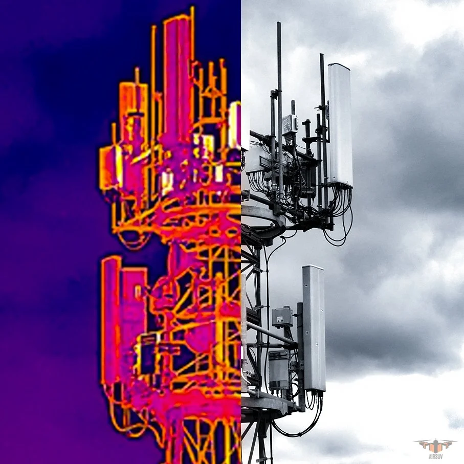
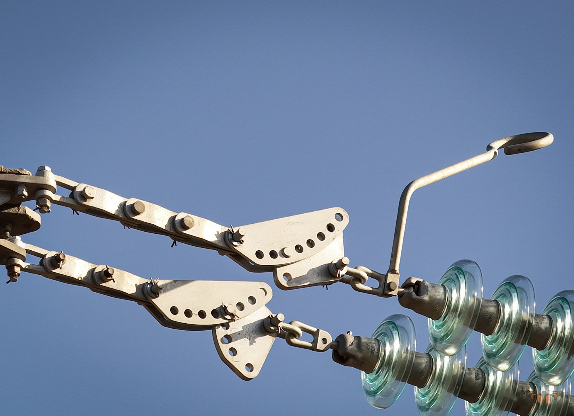
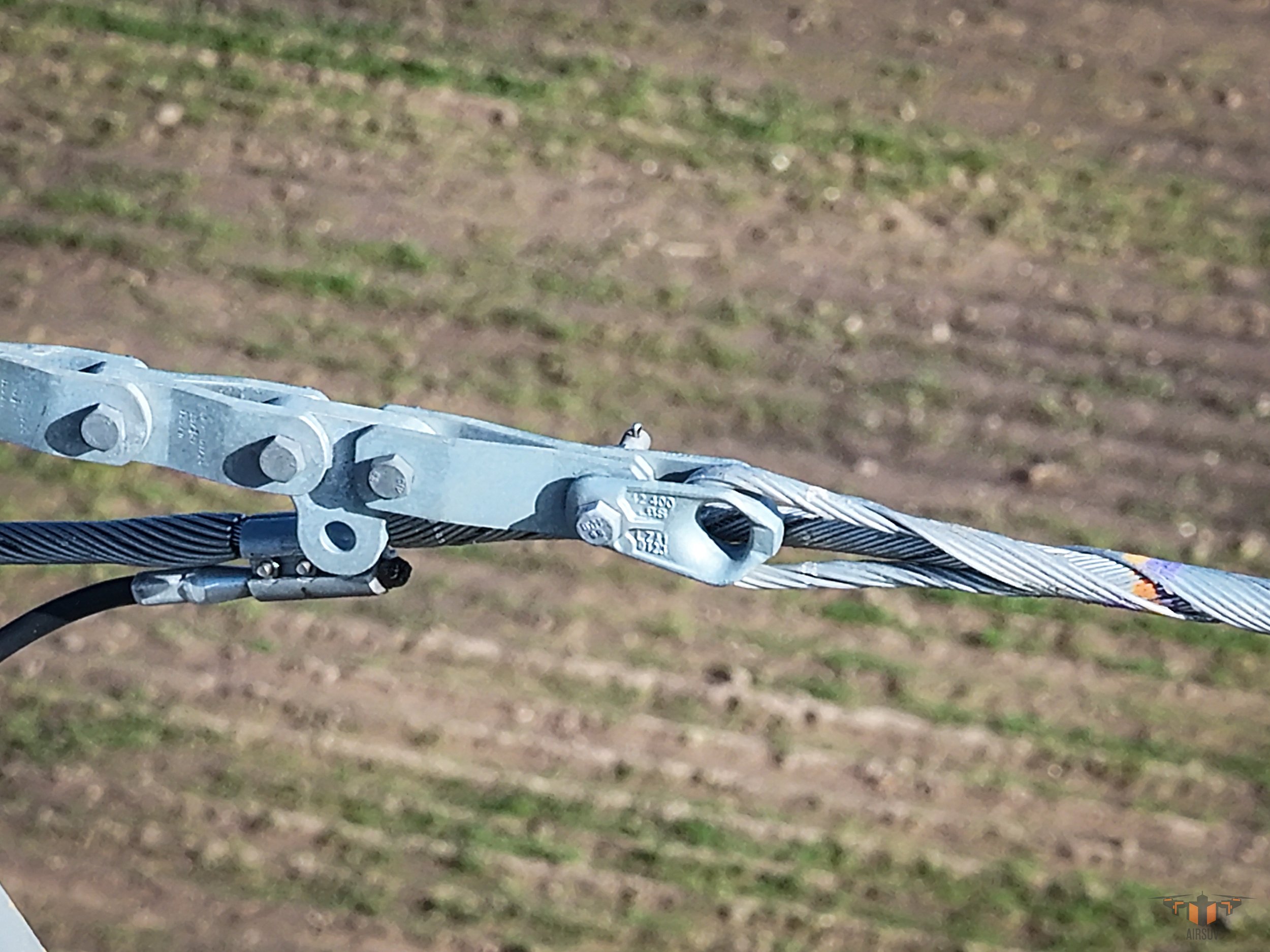
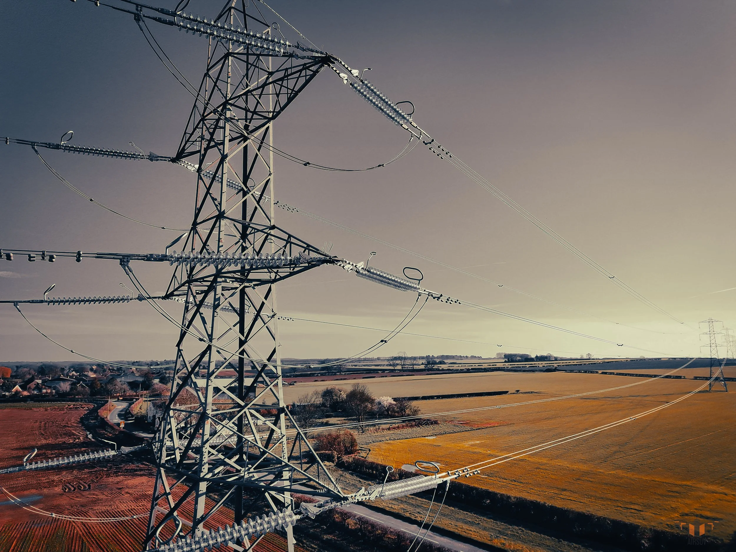
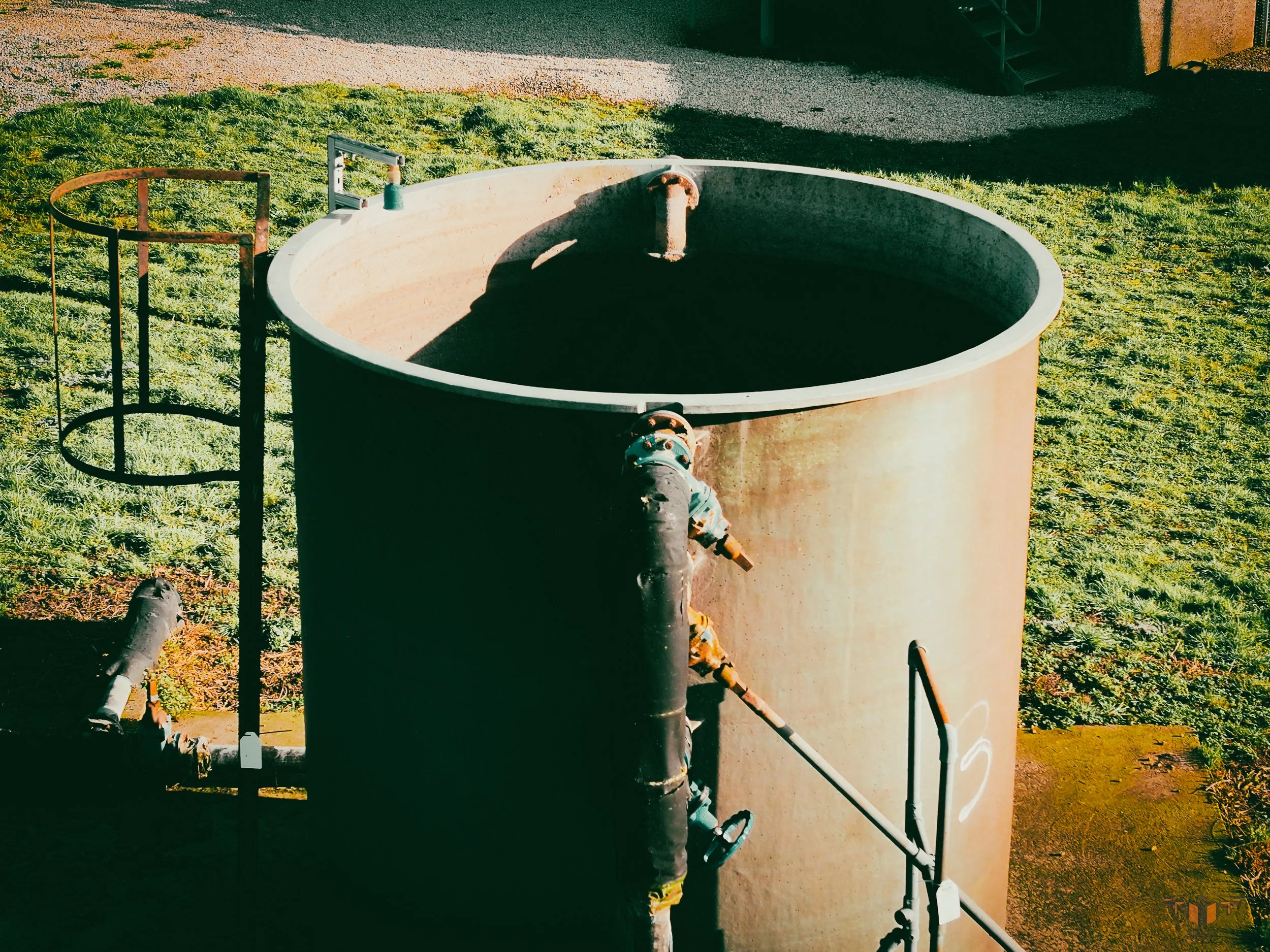
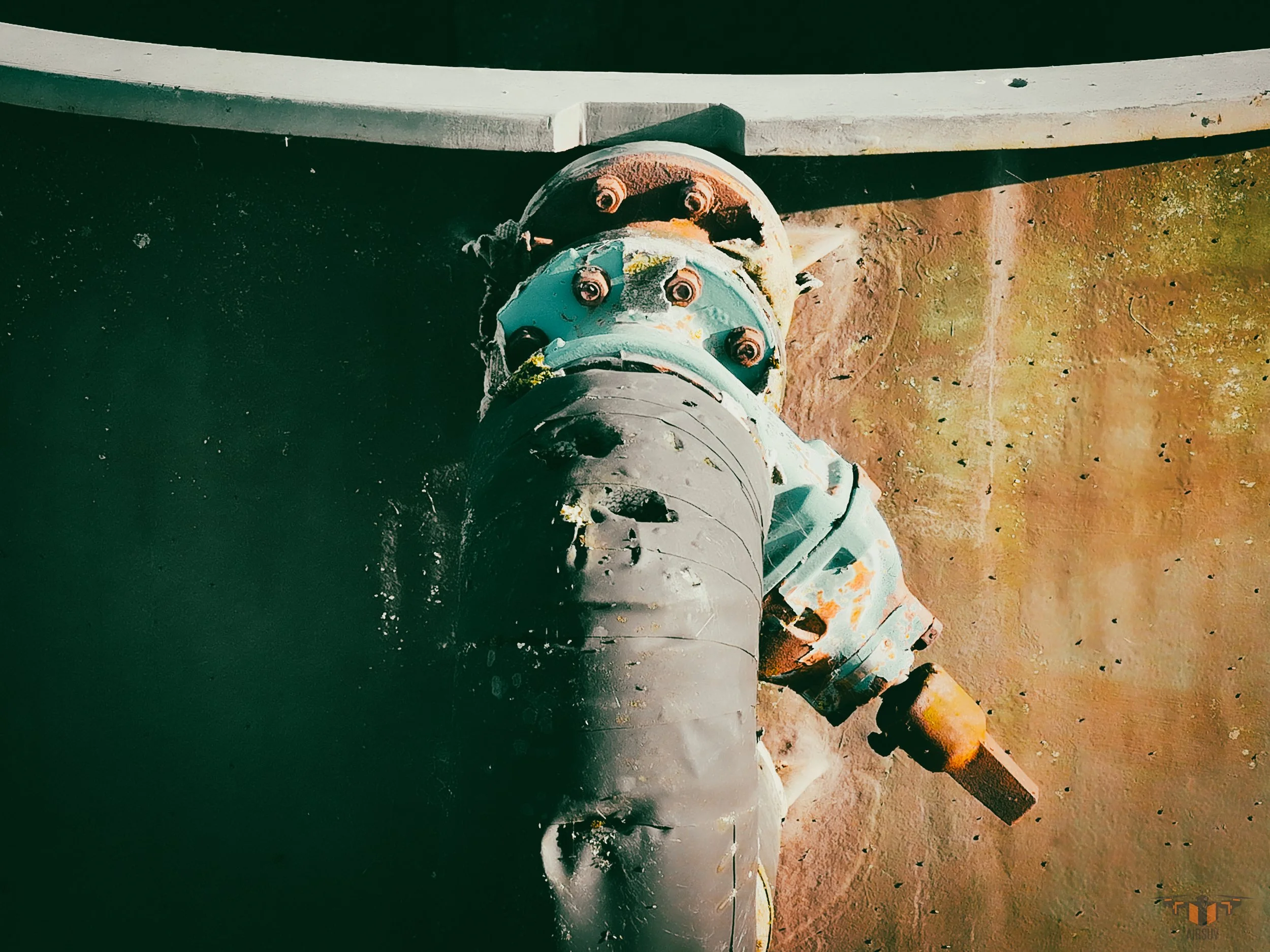
Every mission — regardless of sector or asset type — is structured to the ARC five-layer capture system, operated on an enterprise drone platform carrying 48MP RGB imaging, radiometric thermal IR, and a laser rangefinder.
ARC delivers 100% surface coverage on every mission — cell tower, solar farm, powerline, heritage building, or infrastructure. No gaps, no omissions, no subjective interpretation permitted. The data leaves site complete or it does not leave site.
That binary standard is what makes AIRSUV's datasets immediately usable by structural engineers, O&M teams, conservation architects, and asset managers — without additional processing.

Six Sectors. One Standard.
Professional Drone Inspection Services Across Every One.
Airsuv operates drone inspection services across six defined sectors in the UK.
Each has its own data requirements, applicable standards, and delivery format.
The ARC capture system and enterprise drone platform are consistent across all six — cell tower, solar farm, powerline, heritage building, infrastructure, and wind. The standards references are the operational standards Airsuv works to — not marketing claims.
ARC - Sectors
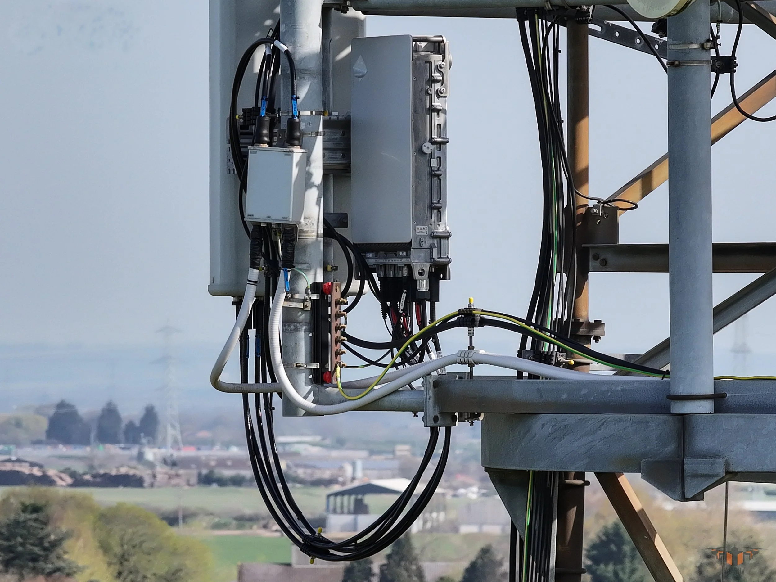
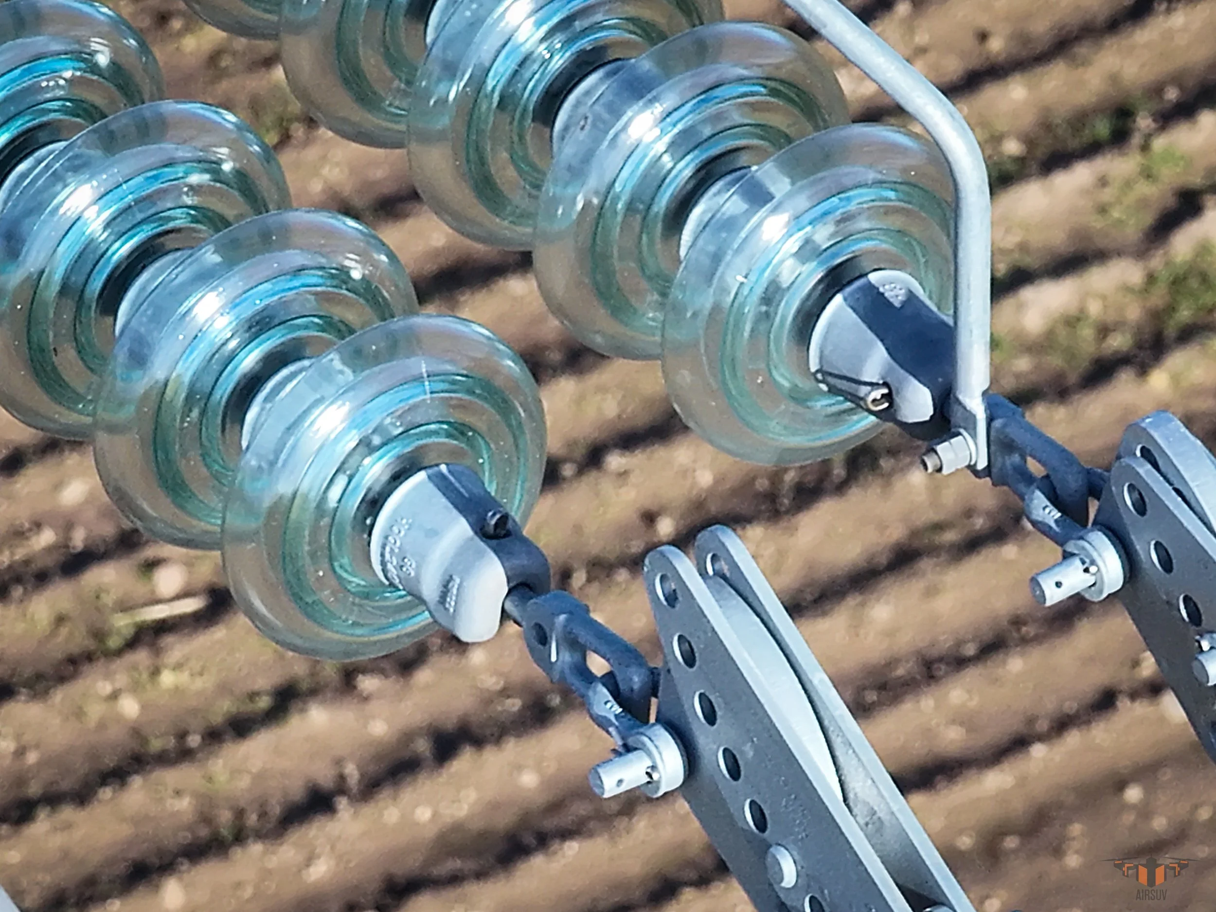
Asset Scope: Lattice towers · Monopoles · Rooftop installations · Guyed masts
Standard/Protocol: RF-aware · 15m standoff
Delivered To: Asset managers · MSPs · Towercos
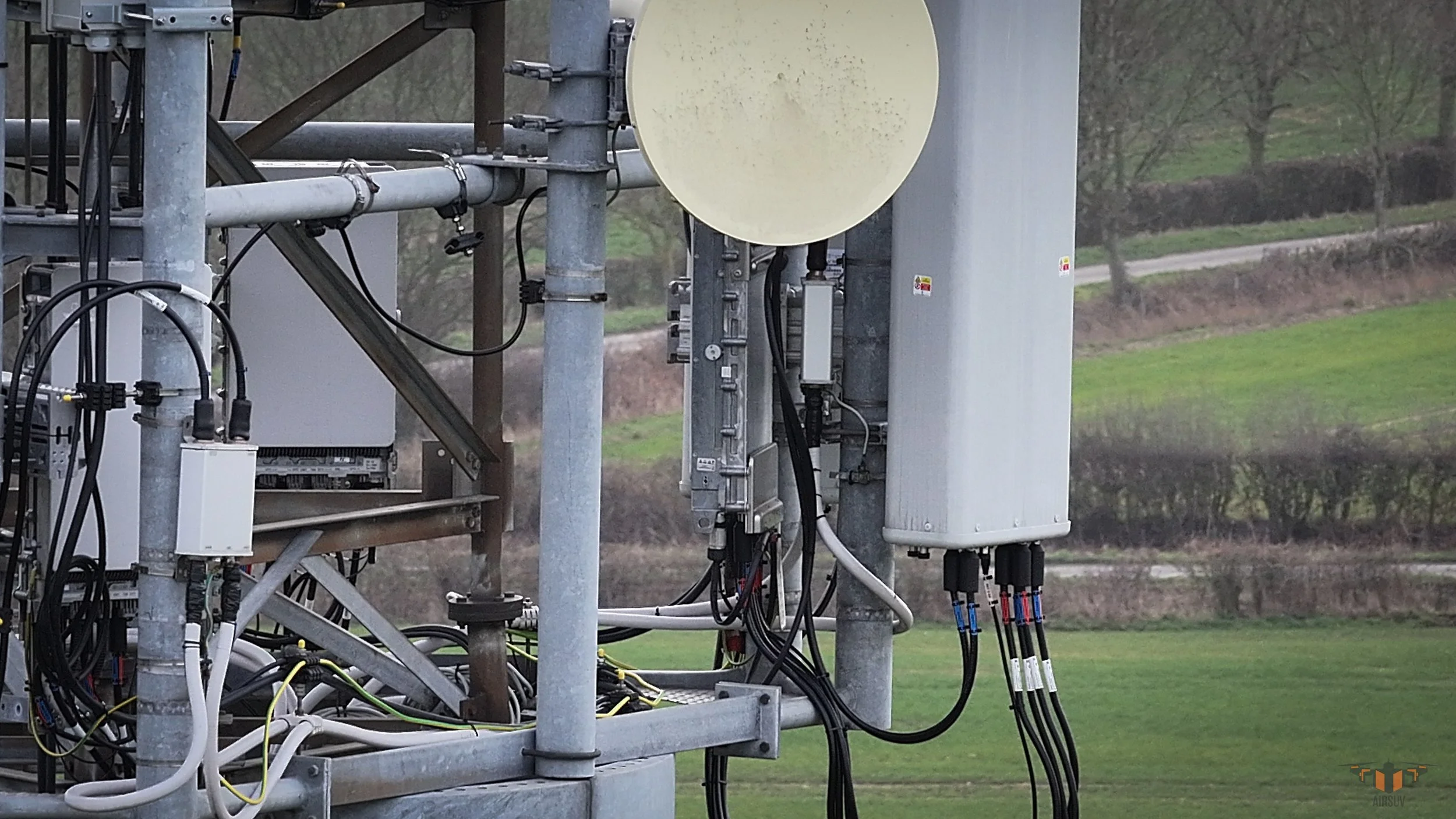
1. Cell Tower
Asset Scope: Ground-mount 1MW–50MW+ · Rooftop commercial & industrial arrays
Standard/Protocol: IEC 62446-3 · 600 W/m² threshold · Delta T · R-JPEG
Delivered To: O&M teams · Performance engineers · Asset owners
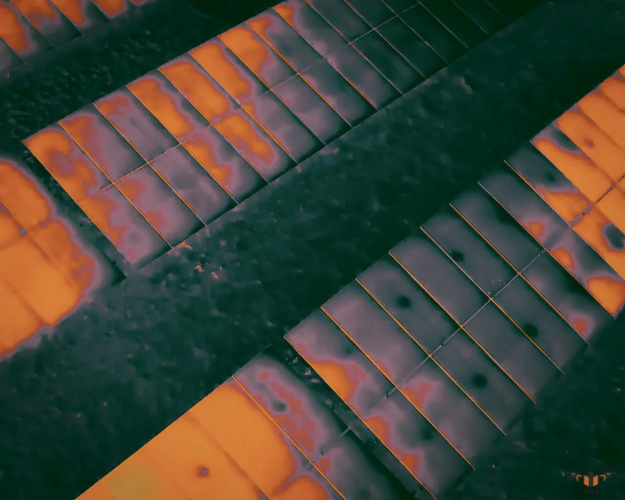
2. Solar Farm
Asset Scope: Bridges · Retaining walls · Water treatment · Road gantries · Tunnels
Standard / Protocol: ARC five-layer · GPS-referenced · PLY/GeoTIFF output
Delivered To: Structural engineers · Highways teams · Utilities
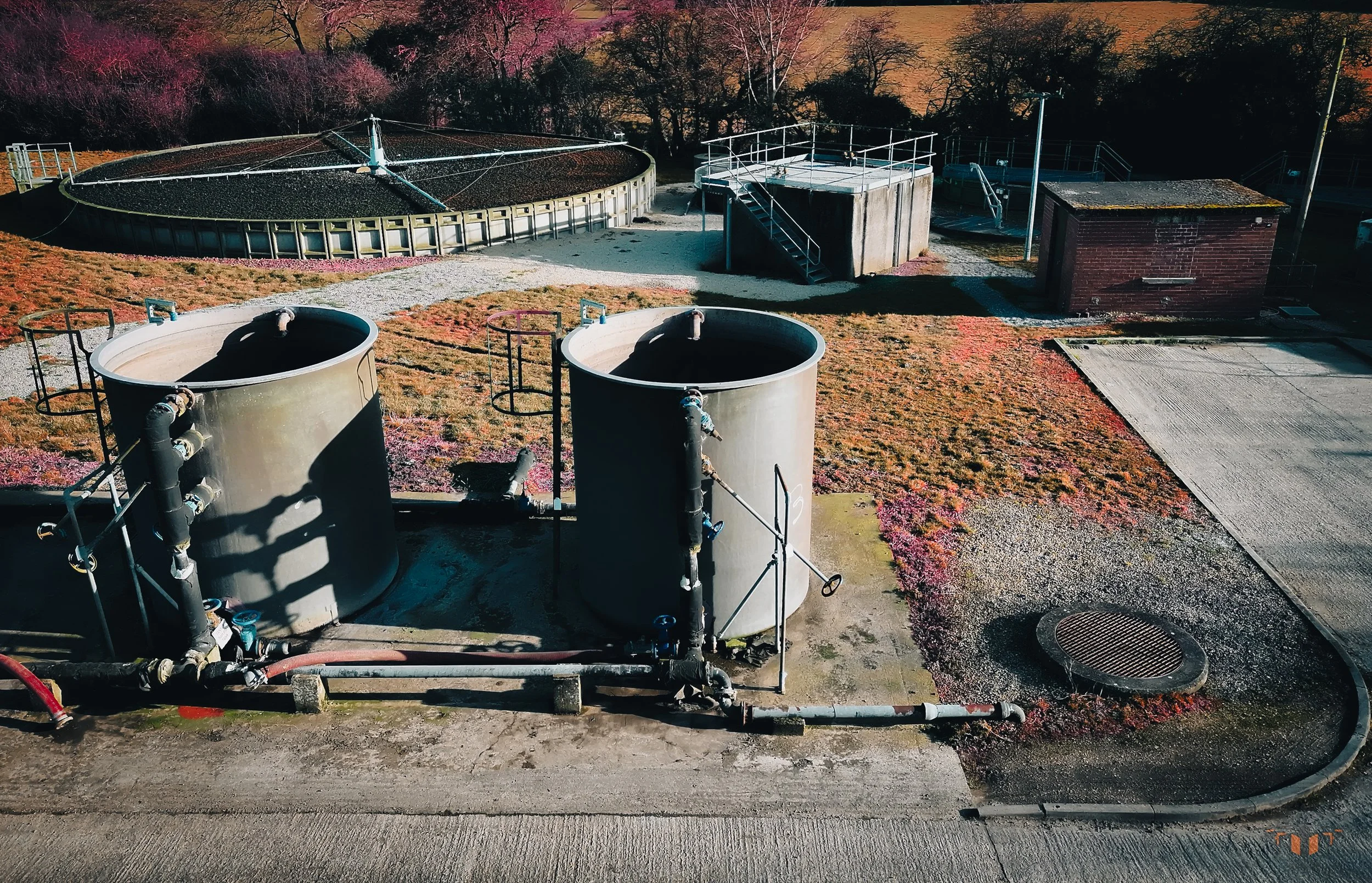
3. Infrastructure
Asset Scope: Flat roofs · Industrial · Warehouses · Retail parks · Public sector
Standard / Protocol: ARC thermal replication · R-JPEG · GeoTIFF orthomosaic
Delivered To: FM teams · Surveyors · Estates managers
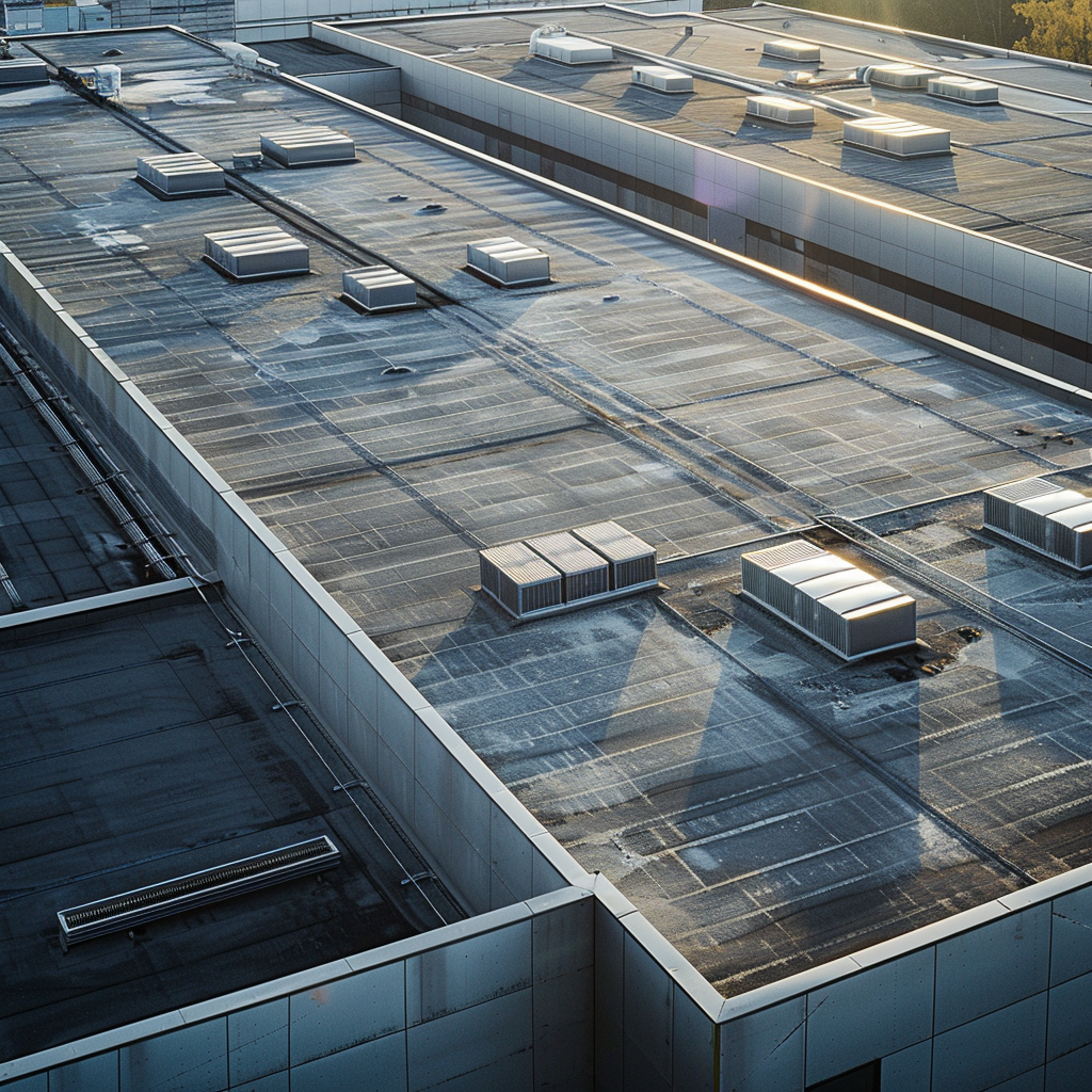
4. Commercial Buildings
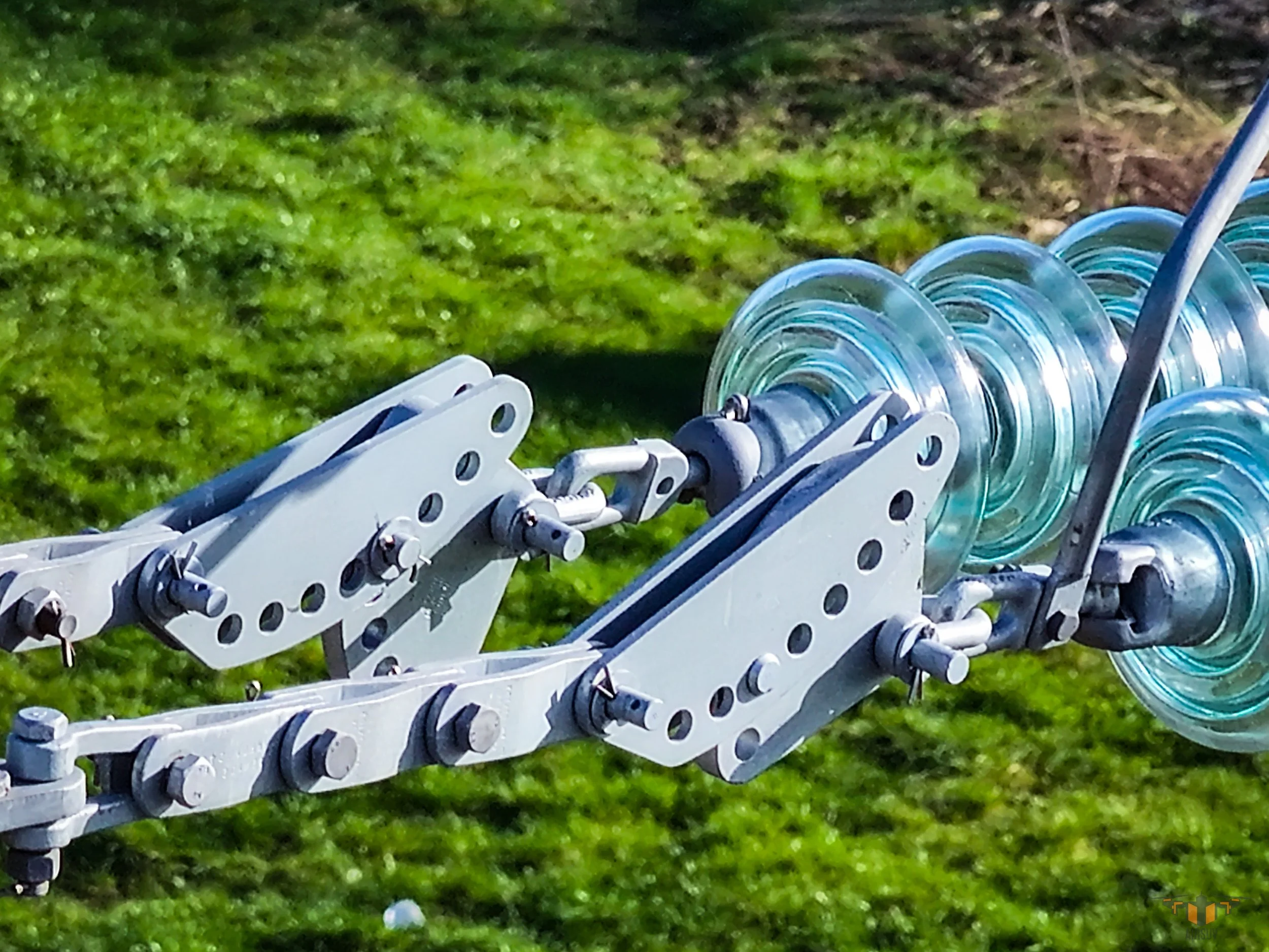
Asset Scope: Overhead lines · Pylons · Wood pole · Substations (external) · Wind turbines
Standard / Protocol: ARC five-layer · GVC standoff · PTW compatible
Delivered To: DNOs · National Grid · O&M contractors
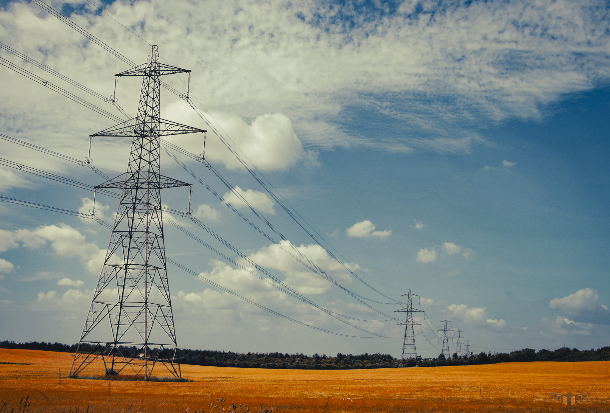
5. Powerline & Energy
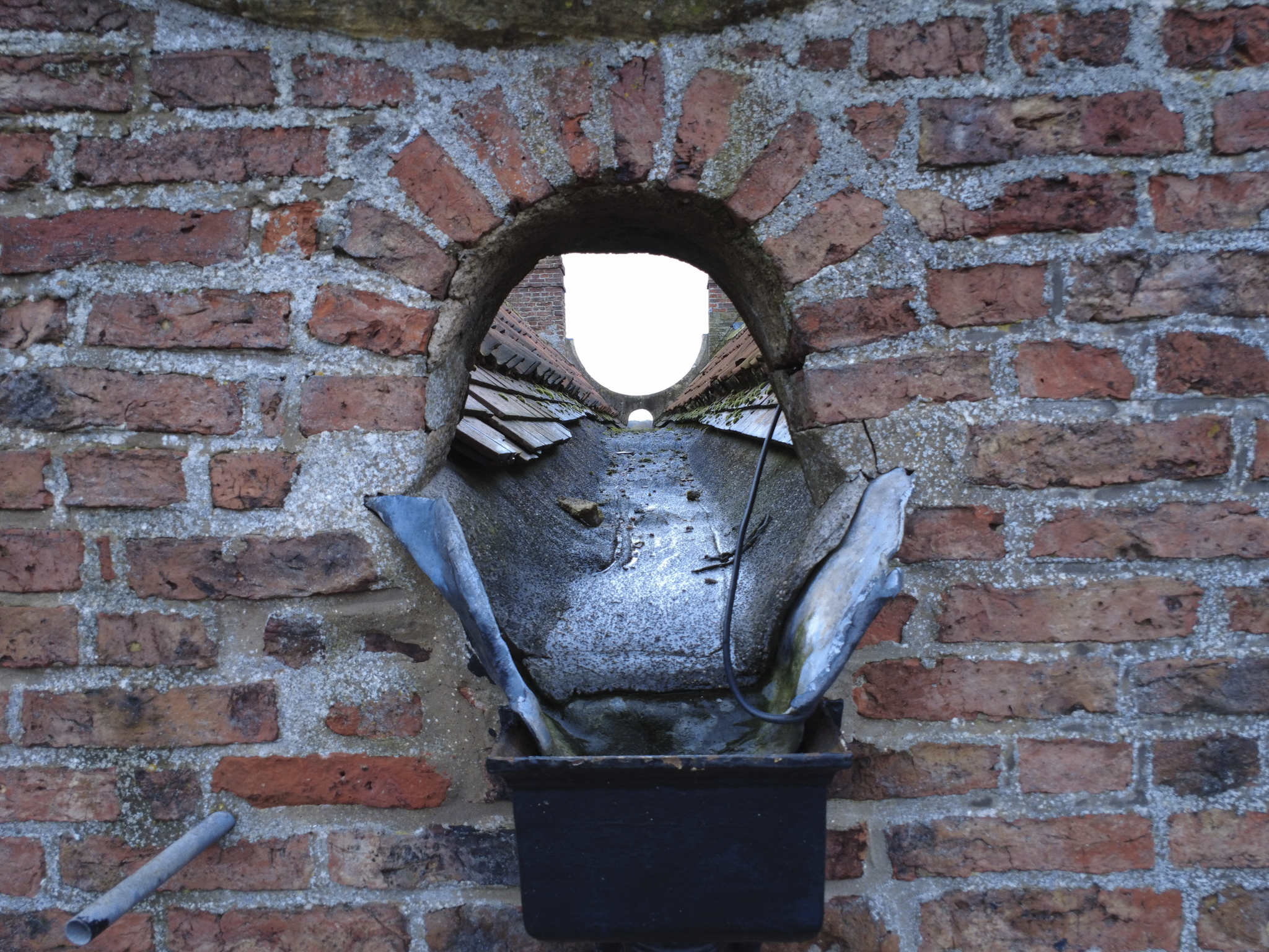
Asset Scope: Grade I · Grade II* · Grade II · Scheduled monuments · Registered parks
Standard / Protocol: HEAG317 · Non-contact · SfM photogrammetry
Delivered To: DNOs · National Grid · O&M contractors
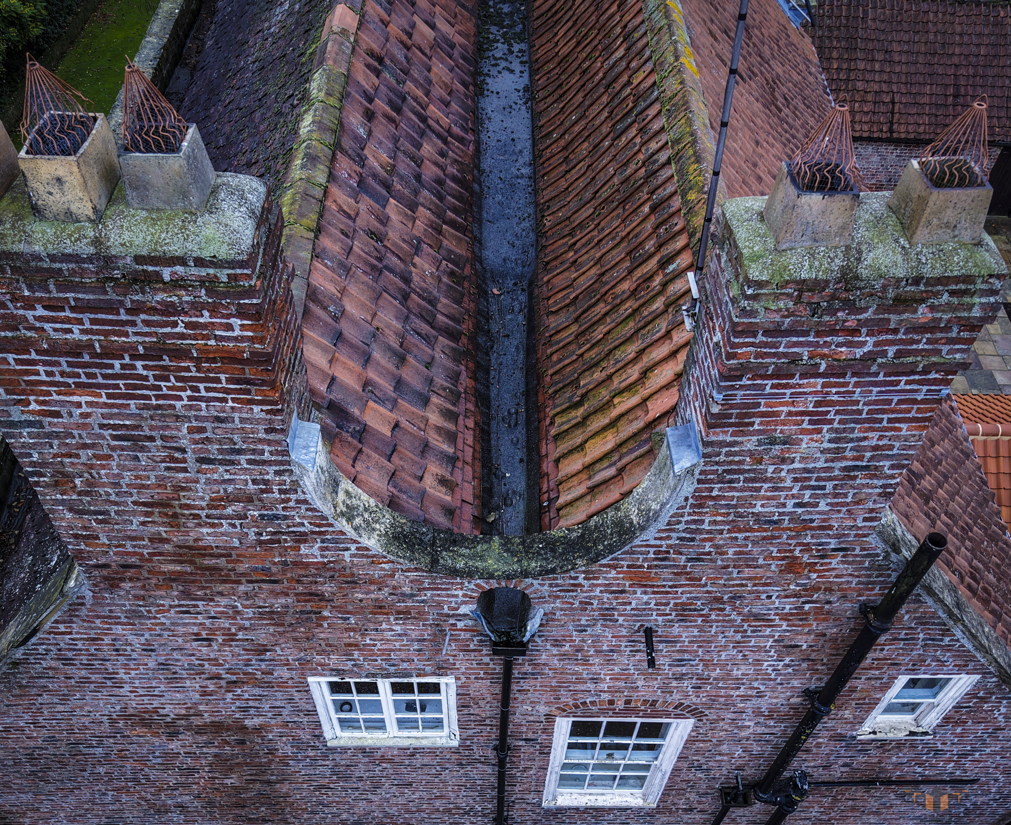
6. Heritage Buildings
The ARC Capture System
Every Airsuv inspection mission is structured to the Airsuv Reference Capture (ARC) system. ARC defines five discrete capture layers — each with defined parameters, pass/fail criteria, and standards alignment. All five must be completed before the dataset leaves site.
ARC-1
Establishes full asset geometry and environmental context.
ARC-2
Delivers 100% surface coverage — the primary data layer and the basis for IEC 62446-3 thermal replication on solar farm inspections.
ARC-3
Captures all structural and mechanical features, forming the photographic record basis for Historic England HEAG317 heritage documentation.
ARC-4
Captures close-range detail of all points of interest identified during ARC-2 and ARC-3.
ARC-5
Records site access, ground conditions, and the conditions log required for IEC 62446-3 reporting and RAMS documentation.
Standards define the requirement.
ARC defines how Airsuv meets it.
Why Airsuv
-
ARC system — five-layer capture standard
Every mission structured to ARC — binary pass/fail, 100% surface coverage, zero dataset ambiguity. The data leaves site complete or it does not leave site.
-
Standards-led capture
IEC 62446-3 for solar thermal inspection (600 W/m² minimum irradiance · Delta T recorded · R-JPEG format). HEAG317 for heritage documentation. RF-aware protocol for cell tower operations — 15-metre standoff from active antenna faces as standard.
-
Professional equipment
Enterprise Drone Platform - 48MP RGB · radiometric thermal IR · laser rangefinder. Every dataset GPS-referenced. Full radiometric R-JPEG thermal data retained. PLY photogrammetric model and GeoTIFF orthomosaic where scoped.
-
Direct delivery of data
No intermediaries.
Data delivered on time for standard single-site missions.
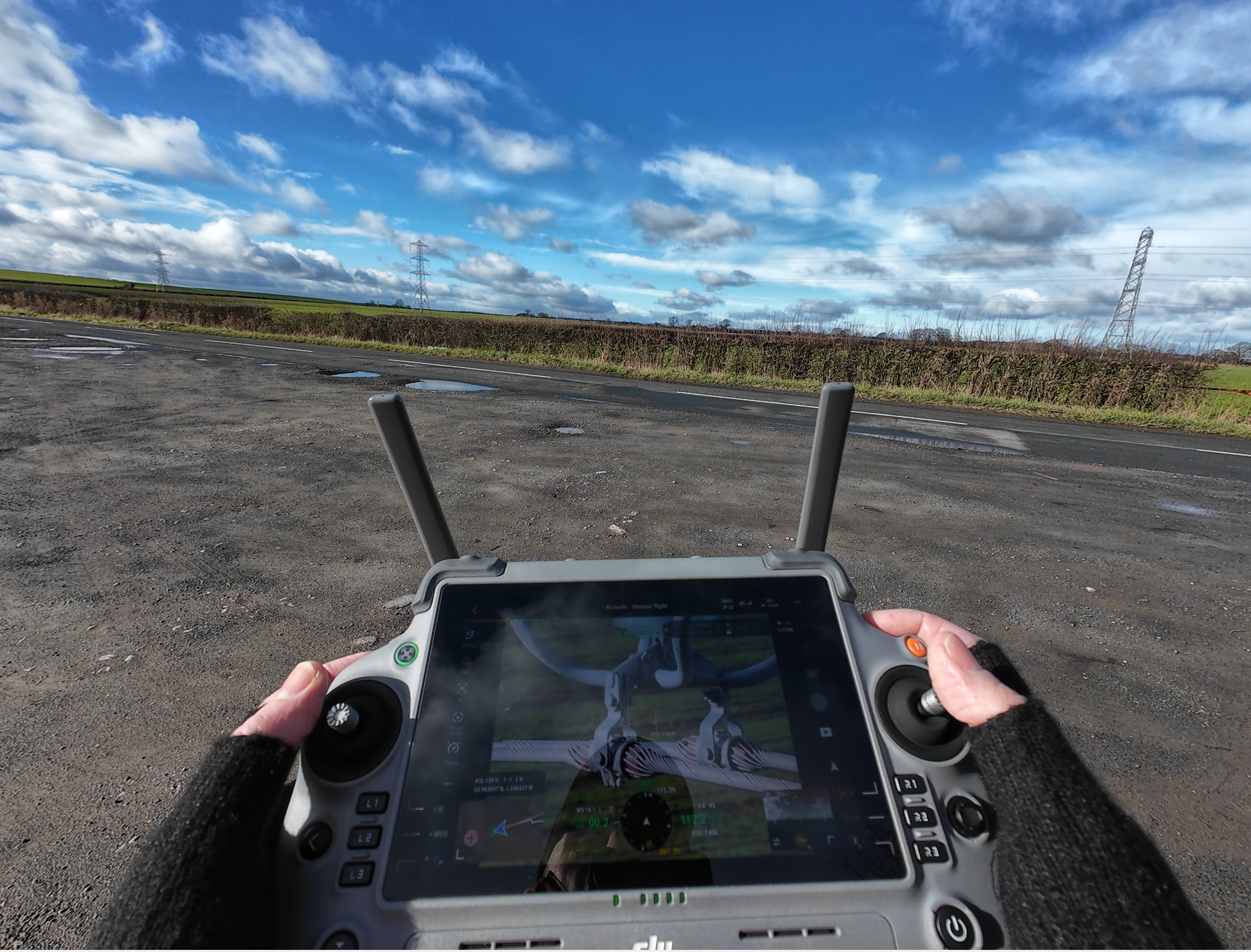
One Operator. Every Mission.
Airsuv is run by Mark Wittner.
CAA GVC licensed.
Dronedesk verified.
Public liability insured.
Mark takes the brief, flies the ARC-structured mission, and delivers the data.
There is no team behind the scenes, no subcontractors, and no intermediaries between the client and the pilot.
Contact airsuv
INSPECT. STANDARDISE. DECIDE
07720 886 879
contact@airsuv.uk
Based in Tockwith, York. Operating across the UK - Glasgow to Brighton. Liverpool to Leeds.
Airsuv covers the full range of UK infrastructure, utilities, telecoms, heritage, and commercial assets.
Contact Airsuv to confirm availability and logistics for your site.