
Professional Drone Inspection Data Services
Six Sectors | One Standard
Every mission is ARC-structured, GPS-referenced, and delivered to the engineering and asset management teams who need it.
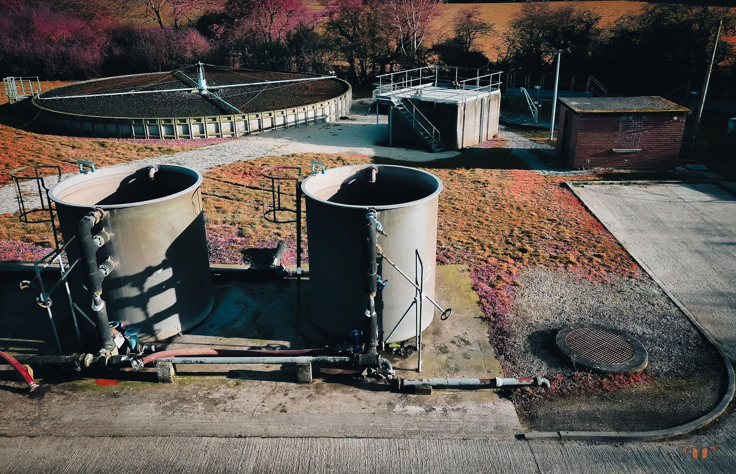
Infrastructure - Bridges, Roads, Water & Civil Structures
ASSETS COVERED
Highway bridges · Viaducts · Retaining walls · Culverts · Water treatment structures · Road gantries · Tunnels · Rail structures
STANDARD / PROTOCOL
ARC five-layer · GPS-referenced · PLY / GeoTIFF output
DATA DELIVERED
RGB imagery organised by structure element · Orthomosaic (GeoTIFF) · PLY photogrammetric model where scoped · Radiometric thermal dataset where deployed · Delivered within 24 hours for standard single-structure captures
DELIVERED TO
Structural engineers · Local authority highways teams · Water utility asset managers · Principal inspection contractors
CAPTURE METHOD
ARC-structured · Enterprise drone platform
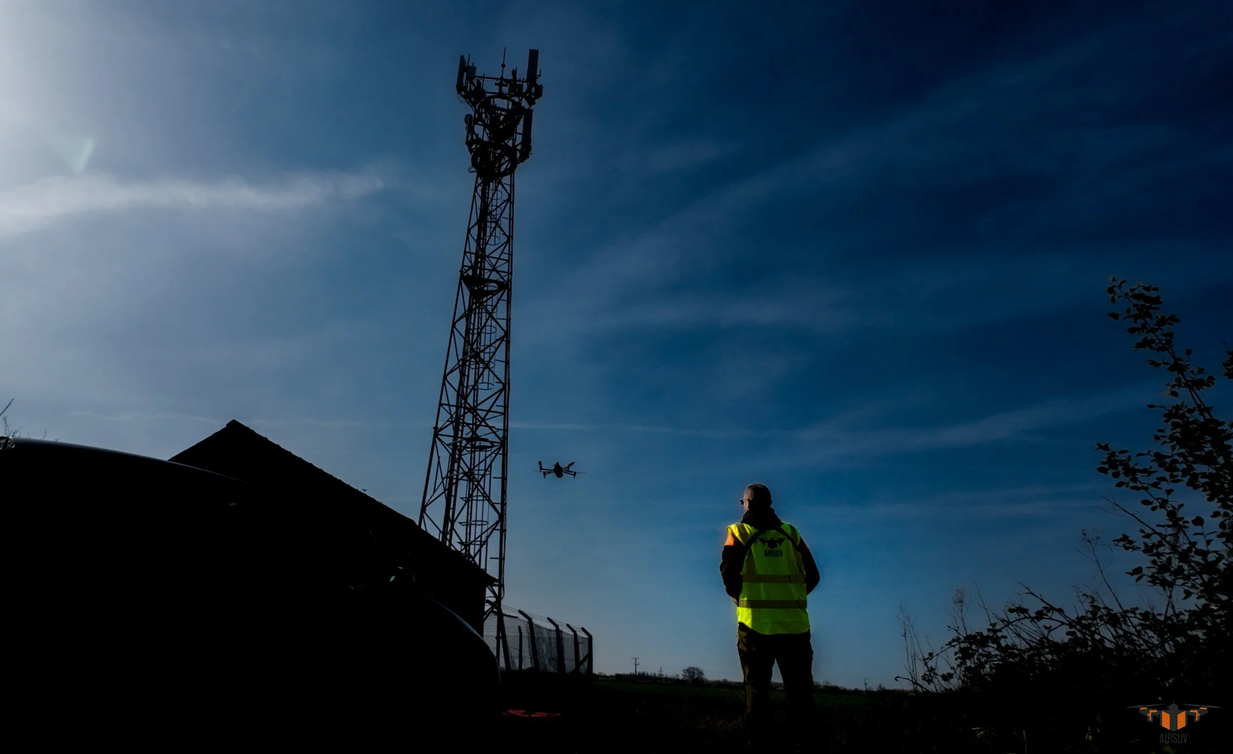
CELL TOWER - RF-Aware Structural & Antenna Data Capture
ASSETS COVERED
Lattice towers · Monopole masts · Rooftop installations · Guyed masts · Street furniture mounts
STANDARD / PROTOCOL
RF-aware protocol · 15m standoff from active antenna faces · No climbers · No downtime
DATA DELIVERED
Full tower body RGB dataset · Antenna face imagery per sector with azimuth and downtilt reference · RRU/RRH and connector detail · GPS-referenced · Data organised by structure element · Delivered within 24 hours for standard single-tower captures
DELIVERED TO
Telecoms asset managers · Managed service providers · Mobile network operators · Tower owners and towercos
CAPTURE METHOD
ARC-structured · Enterprise drone platform
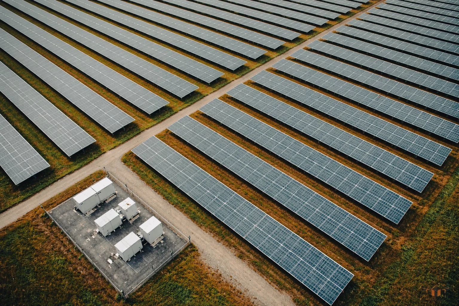
SOLAR FARM - IEC 62446-3 Radiometric Thermal Surveys
ASSETS COVERED
Ground-mount arrays 1MW–50MW+ · Rooftop commercial arrays · Rooftop industrial and warehouse arrays
STANDARD / PROTOCOL
IEC 62446-3 · 600 W/m² minimum irradiance · Delta T recorded · R-JPEG format · Conditions log at ARC-5
DATA DELIVERED
Radiometric thermal R-JPEG dataset · RGB orthomosaic (GeoTIFF) · GPS-referenced per-module imaging · String-level data mapping where array configuration provided · IEC 62446-3 conditions log · Delivered within 24 hours for standard single-site captures
DELIVERED TO
O&M contractors · Asset performance engineers · Solar farm asset owners · Lenders' technical advisors
CAPTURE METHOD
ARC-structured · Enterprise drone platform
POWERLINE & ENERGY - Overhead Lines, Pylons & Wind Turbines

ASSETS COVERED
Overhead lines (distribution and transmission) · Pylons and lattice towers · Wood pole lines · Insulators and conductors · Substations (external only) · Wind turbines
STANDARD / PROTOCOL
ARC five-layer · 15m RF standoff · PTW compatible · No outage required for majority of captures
DATA DELIVERED
RGB imagery organised by span or tower reference · Radiometric thermal R-JPEG where deployed · GPS-referenced · Organised to client asset register where provided · Delivered within 24 hours for standard single-site captures
DELIVERED TO
Distribution network operators · National Grid · Transmission asset engineers · O&M contractors · Wind farm operations teams
CAPTURE METHOD
ARC-structured · Enterprise drone platform
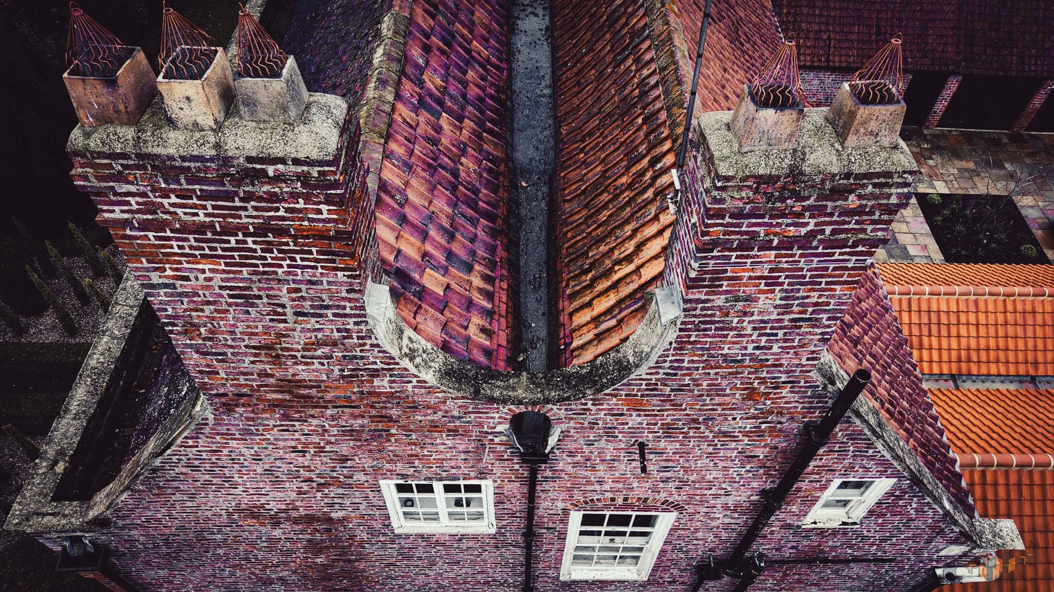
Heritage Buildings - HEAG317-Aligned Non-Contact Data Capture
ASSETS COVERED
Listed buildings Grade I · Grade II* · Grade II · Scheduled ancient monuments · Historic England registered parks and gardens
STANDARD / PROTOCOL
HEAG317 · Non-contact throughout · No physical contact with listed fabric · Safe clearance confirmed per structure
DATA DELIVERED
RGB condition record organised by elevation · Orthorectified elevation imagery · SfM photogrammetric model (PLY) · Radiometric thermal dataset where deployed · GPS-referenced · Delivered within 24 hours for standard single-structure captures
DELIVERED TO
Conservation architects · Historic environment consultants · Building surveyors · Local planning authority conservation officers · Historic England
CAPTURE METHOD
ARC-structured · Enterprise drone platform
Commercial & Industrial Buildings - Flat Roof Thermal Surveys & External Condition Records
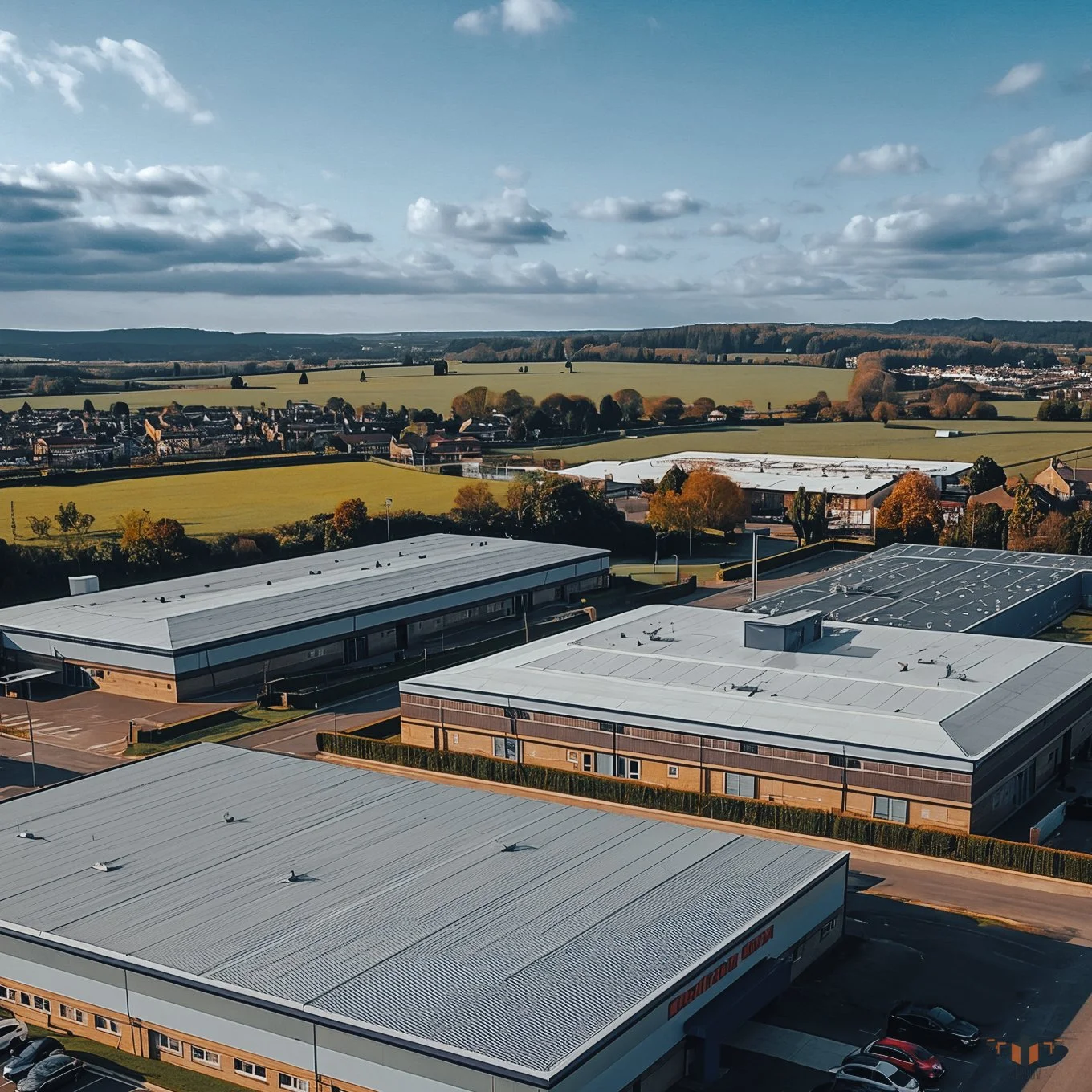
ASSETS COVERED
Commercial flat roofs · Industrial buildings and warehouses · Retail and logistics parks · Public sector buildings — schools, hospitals, council
STANDARD / PROTOCOL
ARC thermal replication · R-JPEG format · GeoTIFF orthomosaic · No scaffolding · No access equipment
DATA DELIVERED
RGB condition record organised by elevation and zone · Radiometric thermal R-JPEG dataset (flat roof membrane) · Orthomosaic roof plan (GeoTIFF) · GPS-referenced · Delivered within 24 hours for standard single-building captures
DELIVERED TO
Facilities managers · Commercial building surveyors · Local authority asset managers · Retail and industrial estate managers
CAPTURE METHOD
ARC-structured · Enterprise drone platform