Behind the INSPECTION data
Who Flies the Mission and Why It's Built This Way
About:
Airsuv is a specialist drone inspection services business based in Tockwith, York. Operating across the UK — Glasgow to Brighton, Liverpool to Leeds — Airsuv captures structured inspection data across six sectors and delivers it to the engineers, surveyors, and asset managers qualified to act on it.
Airsuv captures the data. The client's team interprets it.
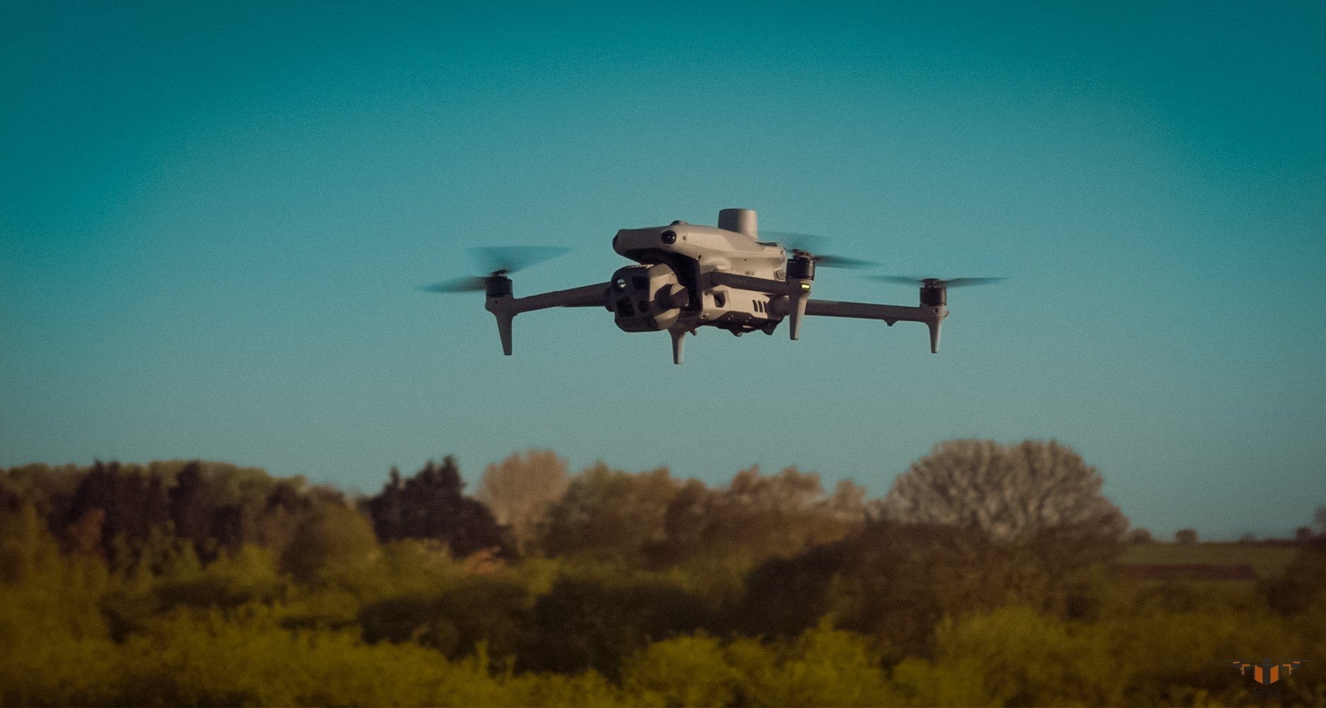
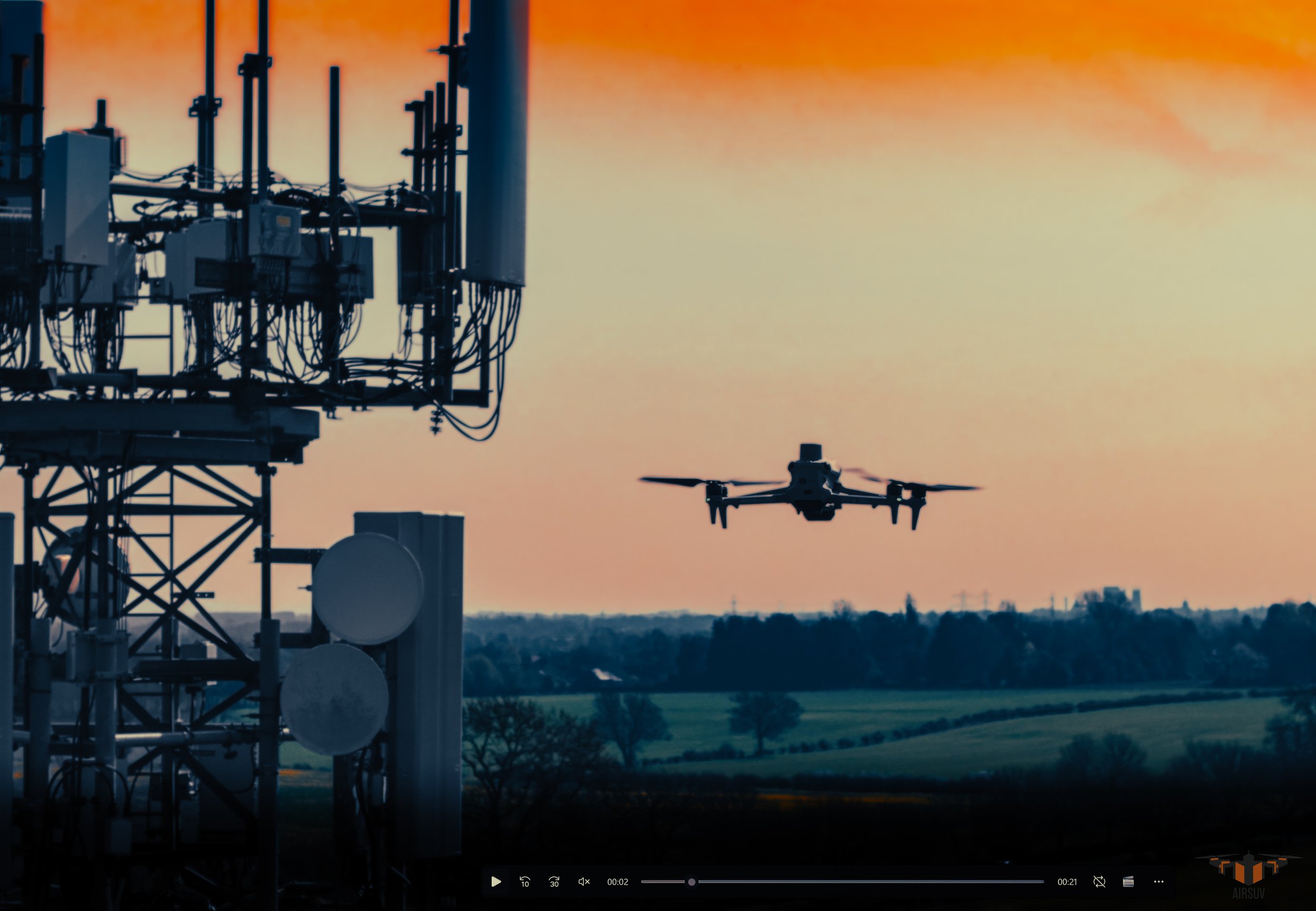
Every mission is flown by Mark Wittner — directly. No subcontractors. No intermediaries. The pilot who takes the brief is the pilot who flies the mission and delivers the data.
Not the Typical Drone Operator Background
Mark Wittner did not come from aviation or engineering. His background is in operational logistics, warehouse management, ecommerce, and graphic design — including a role in supply chain operations at Nestlé.
That background shaped how Airsuv operates in ways that a traditional inspection background would not.
Logistics at scale means understanding that a system only works if it is repeatable, measurable, and produces the same output every time regardless of conditions.
Design means understanding how data needs to be structured and presented to be immediately usable by the person receiving it.
Ecommerce means understanding that the client's time is the constraint — not the operator's.
When Mark entered drone inspection services in the UK, he saw the same problem in most of the data being delivered to engineering teams — it was inconsistent, unstructured, and required additional processing before it was usable.
The dataset arrived. The work began. ARC was built to fix that.


"The problem I kept seeing was simple. Drone inspection data was being captured without a consistent standard and delivered without a consistent structure. Two operators flying the same asset would produce completely different datasets. An engineering team would receive imagery and have no reliable way to know if the coverage was complete, whether they were looking at the full picture or a partial one.
That is not a data problem.
That is a methodology problem.
I built ARC because inspection data is only useful if the person receiving it can trust it completely. If there is any doubt about whether a surface was covered, whether a feature was captured, whether the dataset is complete — the data is not fit for purpose. The engineering team has to go back to site. The inspection has to be repeated. The cost of the drone mission becomes irrelevant against the cost of the uncertainty.
ARC removes that uncertainty. Five layers. Binary pass/fail on every layer. The dataset either meets the standard on site or it does not leave site. There is no middle ground, no annotation that says 'mostly complete', no room for subjective interpretation of what constitutes a sufficient capture.
Every Airsuv client receives a dataset they can act on immediately. That is the point of the whole thing."
— Mark Wittner, Founder, Airsuv
Five Layers.
Every Mission.
No Exceptions.
The Airsuv Reference Capture(ARC) system structures every inspection mission into five discrete layers.
Each layer has defined parameters and a binary pass/fail outcome.
All five must be completed before the dataset leaves site.
No layer may be skipped, abbreviated, or substituted.
The ARC System
-
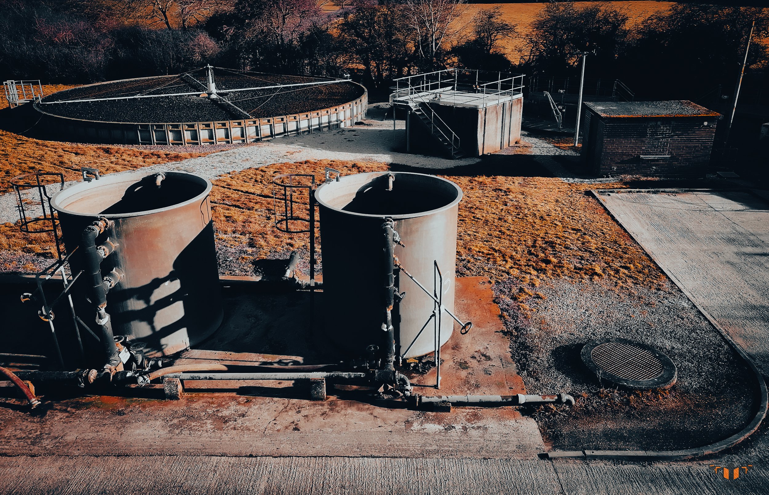
![An aerial view of a large industrial complex with two main buildings and a long, narrow central structure, surrounded by parking areas and greenery.]()
ARC - 1
Full asset overview. Four directional angles minimum. Complete geometry, orientation, and environmental context established.
-
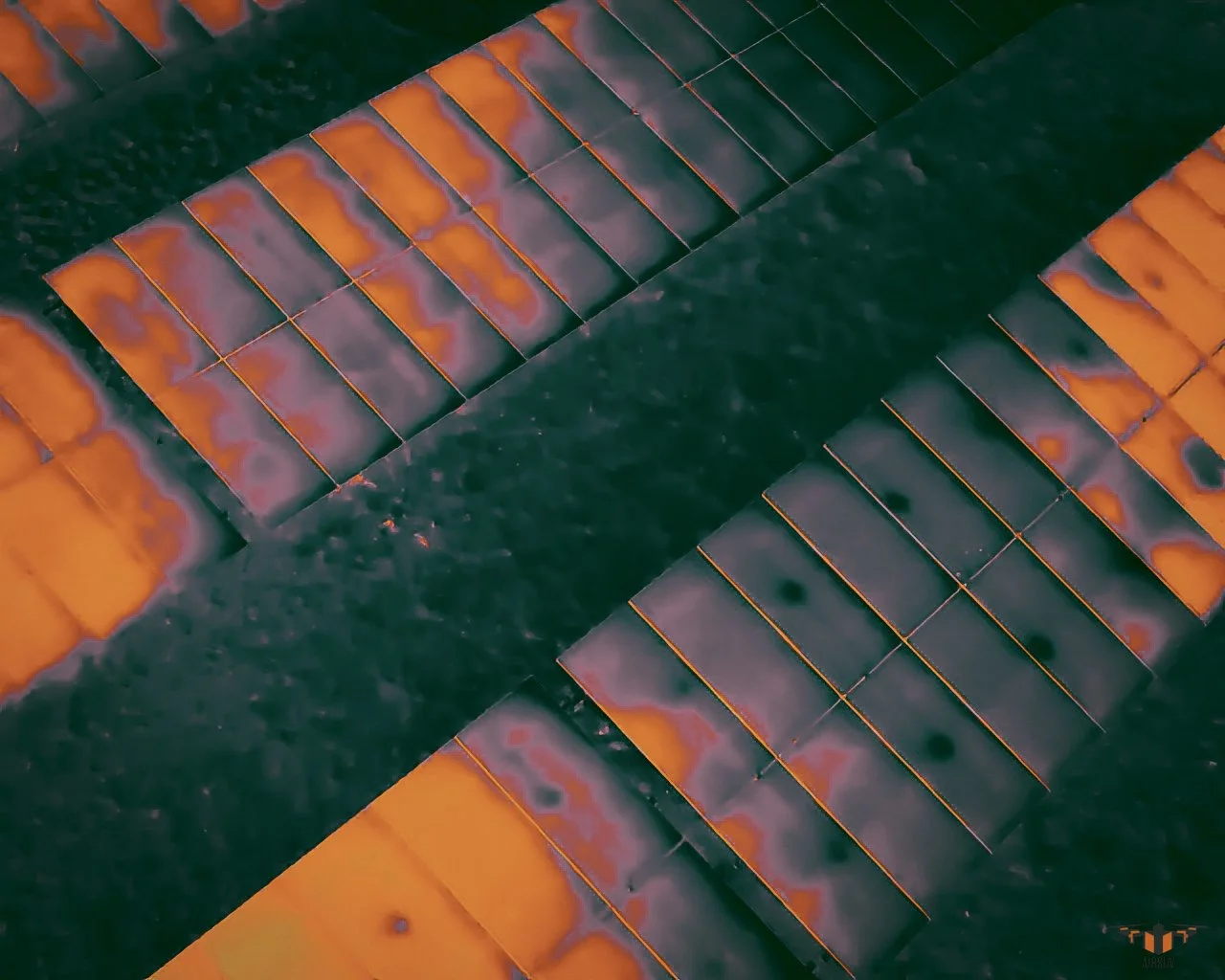
![Close-up of a solar panels, with orange and purple hues and a dark background.]()
ARC -2
100% surface coverage at consistent distance and overlap. Primary data layer. IEC 62446-3 thermal replication uses identical flight path.
-
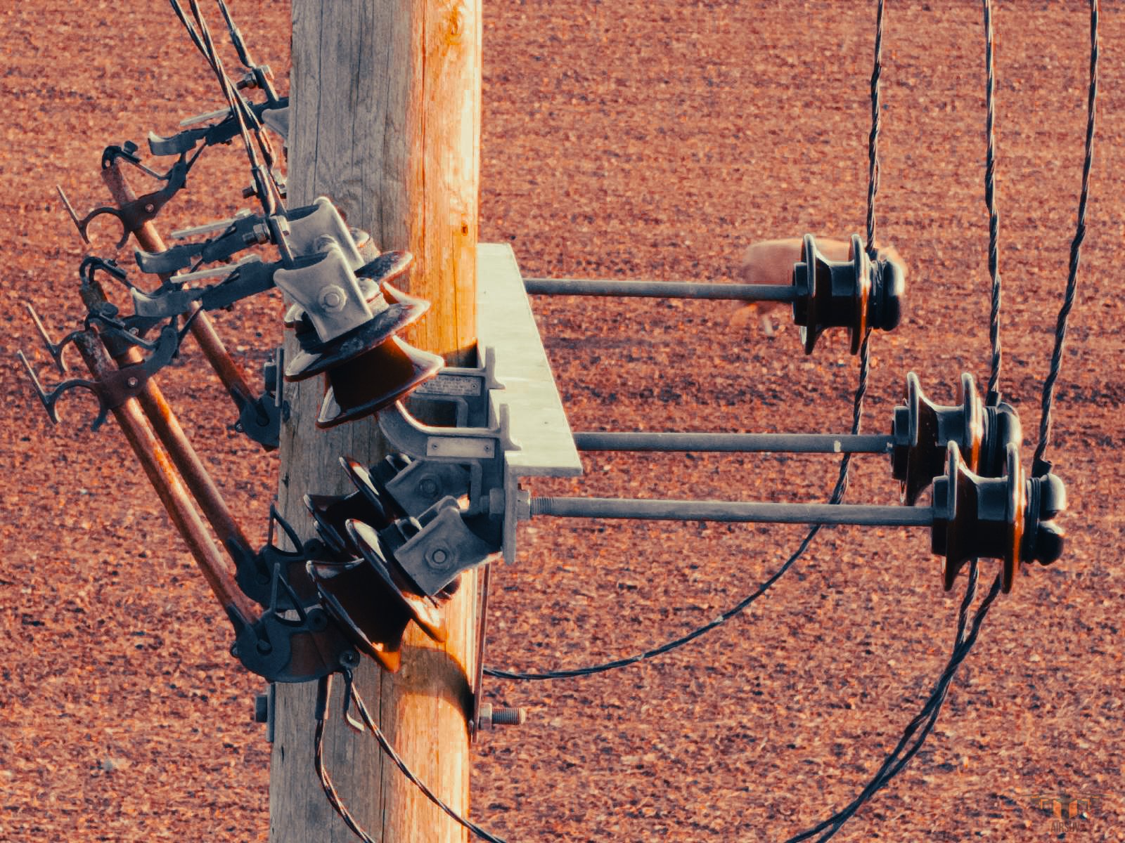
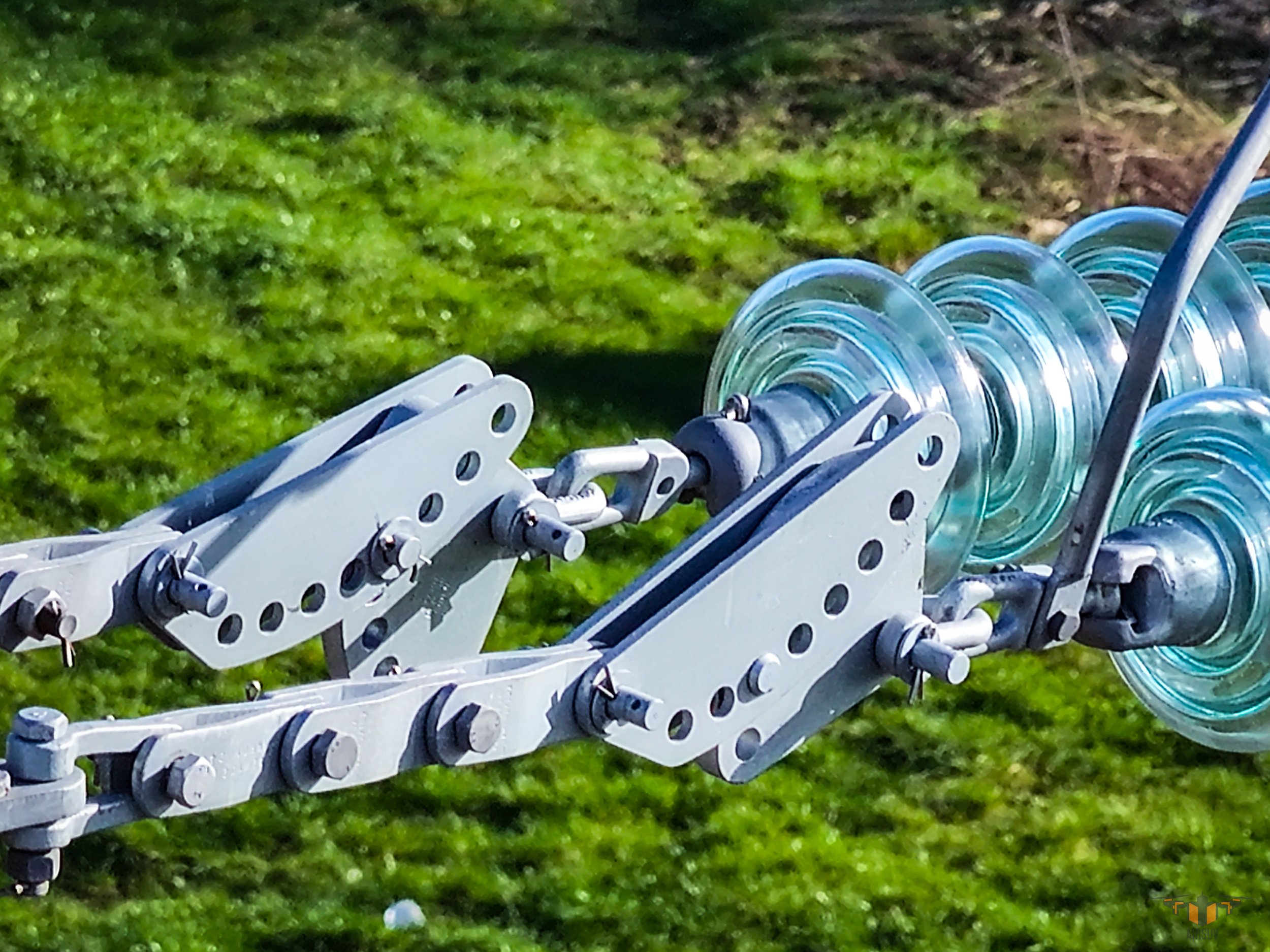
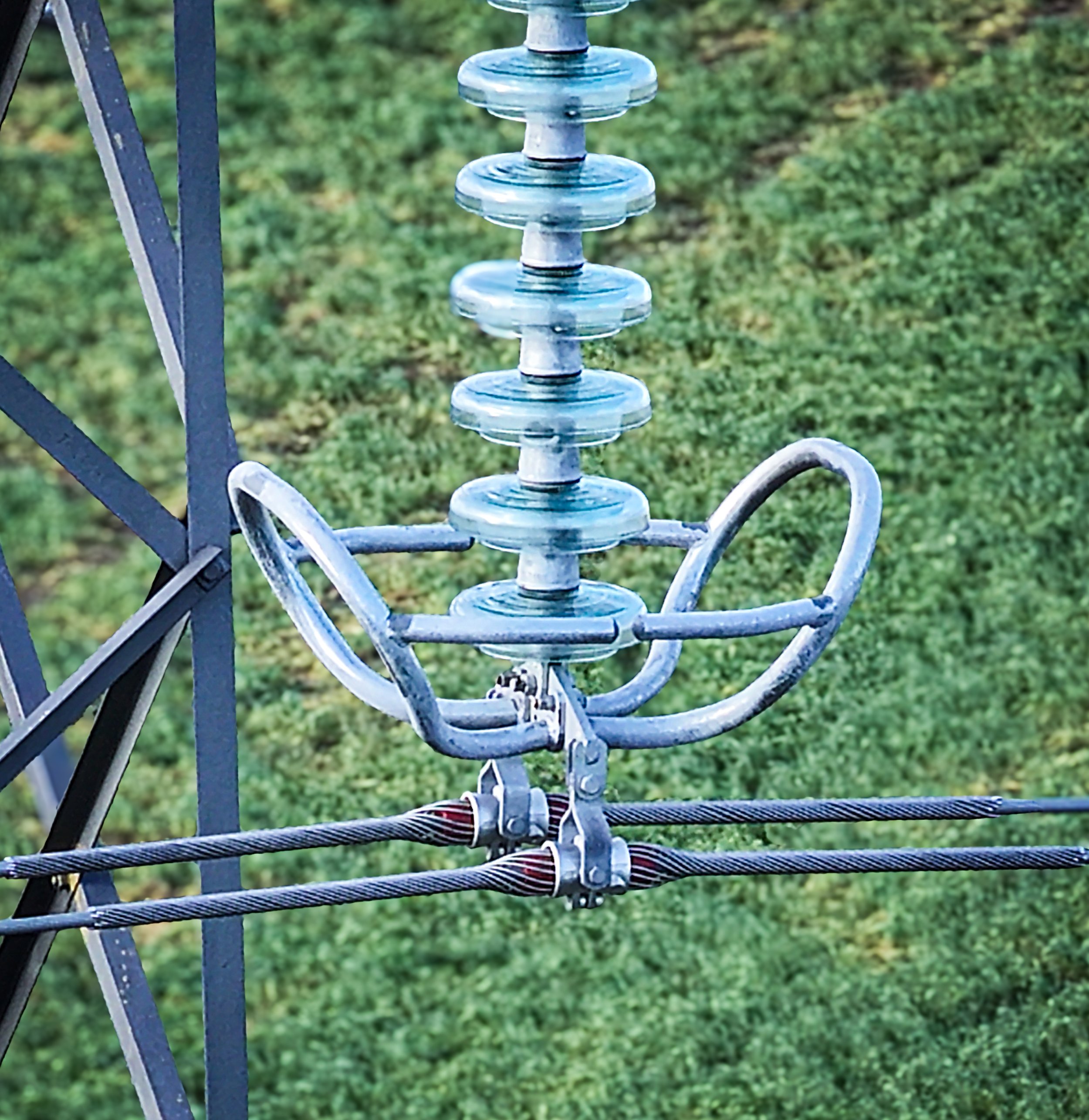
![Close-up of a mechanical device with glass discs and metal components on a grassy background.]()
ARC-3
All structural and mechanical features captured with front, side, and context views. HEAG317 photographic record basis for heritage missions.
-
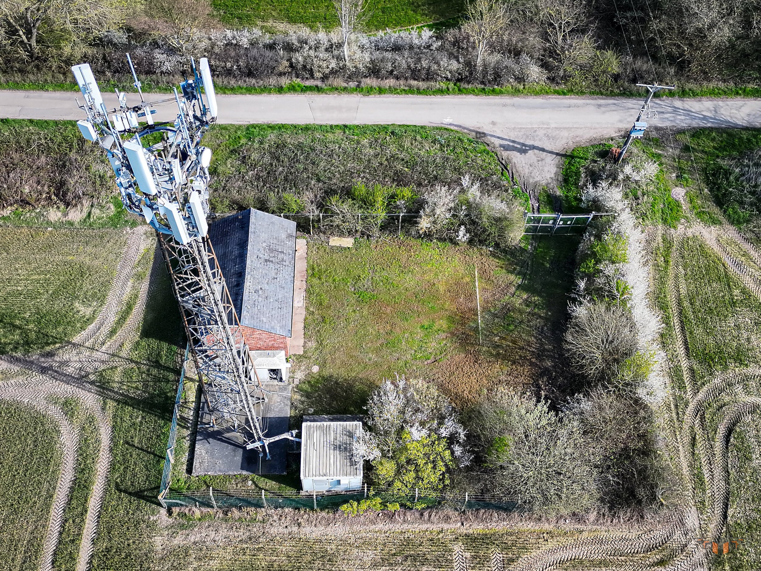
![Close-up of a metal radio antenna with a glass insulator in a grassy outdoor setting.]()
ARC-4
Close-range detail of all points of interest identified during ARC-2 and ARC-3. Drone stationary at point of capture. Zero motion blur tolerance.
-
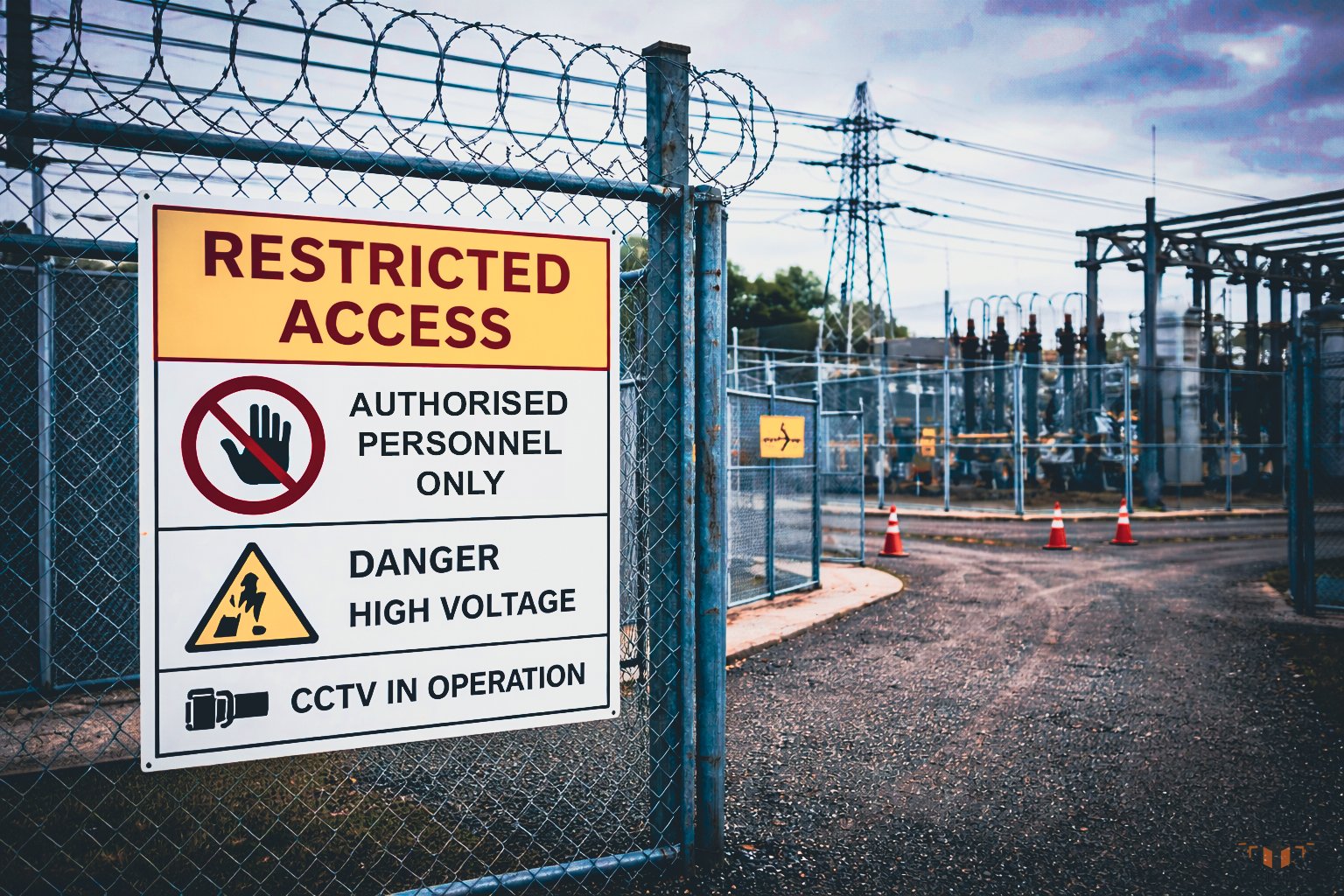
![Fence with sign indicating restricted access to authorized personnel only, high voltage danger, CCTV in operation, at a power plant or electrical substation.]()
ARC-5
Site access, ground conditions, and environmental context. IEC 62446-3 conditions log. RAMS documentation support.
ARC-2 and thermal replication deliver IEC 62446-3 compliance for solar farm inspections.
ARC-1 through ARC-3 form the capture basis for Historic England HEAG317 heritage documentation.
The same system — the same standard — applies on every mission regardless of sector.